High-resolution 3D Moon Map
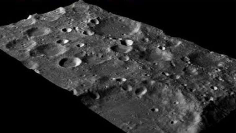
Chinese space scientists have completed the world's highest-resolution three-dimensional map of the moon. The map, covering the whole surface of the moon, was made based on image data obtained by a charge-coupled device (CCD) stereo camera carried by the Chang'e-1, China's first lunar probe. The map's spatial resolution, measured by the distance of two features within an image that can be clearly defined, is 500 metres.
Liu Xianlin, head of the expert team that made the accreditation, said the map could greatly help study the features, laws and creation of the moon's surface and deepen understanding of lunar geology and its evolution.
The Chang'e-1 lunar probe was launched in October 2007.
Image Courtesy: NASA

Value staying current with geomatics?
Stay on the map with our expertly curated newsletters.
We provide educational insights, industry updates, and inspiring stories to help you learn, grow, and reach your full potential in your field. Don't miss out - subscribe today and ensure you're always informed, educated, and inspired.
Choose your newsletter(s)


