Hovermap-PointCab Integration to Capitalize on Lidar Data
A new integration of Emesent’s Hovermap UAV-Lidar solution and PointCab’s 3D data visualization software is set to save users time and improve their outputs, according to both partners.
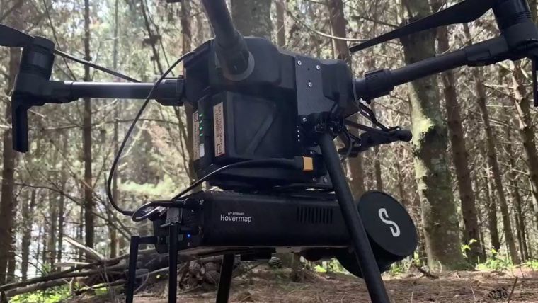
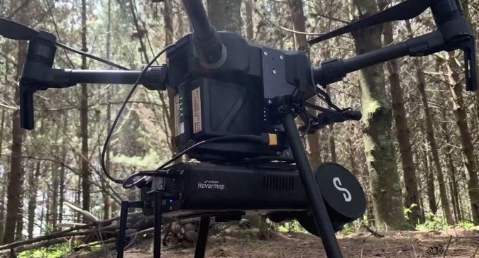
Hovermap, Emesent’s flagship product, is an autonomy and mapping payload capable of capturing high-resolution Lidar data above ground or underground, indoors or out. Hovermap’s autonomy functions allow it to fly supported unmanned aerial vehicles (UAVs or 'drones'), like the DJI M210, DJI M300 or Acecore Zoe, beyond the line of sight and communication range.
PointCab Origins is a 3D data visualization, manipulation and mensuration tool that facilitates the combination of multiple scans from different sources, including terrestrial and mobile scans, to produce one project. Users can create floor plans and sections, and measure areas, distances, volumes and much more. All or part of a point cloud can be transferred directly into CAD programs, or projects can be output in AutoCAD files or interchangeable formats.
Streamlining point clouds to model workflows
The new integration enables PointCab Origins to automatically detect a Hovermap scan and select the project settings for the best results. Available in the latest version, this integration results in clear images with more accurate vectorization and will streamline the point cloud to model workflow, saving users time.
The integration will reduce the time it takes to produce high-quality outputs with PointCab’s intuitive handling and comprehensive workflow allowing Hovermap users to easily turn their high-resolution scans into complete and comprehensive projects that produce detailed BIM or CAD models.
When manipulating their Hovermap data, users will be able to take advantage of all of the standard PointCab Origins modules. These include Layouts & Sections, for creating floor plans in just a few clicks, and Sketch, which provides the tools to measure areas, distances and angles.
Challenging environments
Emesent CEO Dr Stefan Hrabar said the integration would assist Hovermap users in the surveying, architecture or planning industries get even more from their scans. “Hovermap allows users to capture data from even the most challenging, GPS-denied areas, like building facades or an entire bridge from the highest cables to under the deck. This integration with PointCab Origins provides them quick and easy visualization, measurements and manipulation of that data.”
“We’re excited about collaborating with another market-leading technology vendor,” said Dr Hrabar. “Integrating our respective solutions will assist customers to save time, boost productivity and improve outputs, making it easier for them to pursue new opportunities and improve their returns."

Value staying current with geomatics?
Stay on the map with our expertly curated newsletters.
We provide educational insights, industry updates, and inspiring stories to help you learn, grow, and reach your full potential in your field. Don't miss out - subscribe today and ensure you're always informed, educated, and inspired.
Choose your newsletter(s)


