IGARSS 2013: Building a Sustainable Earth through Remote Sensing
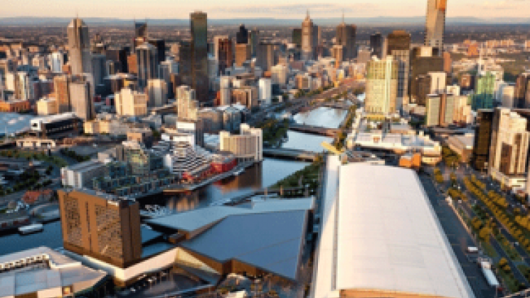
World-renowned scientists and engineers are set to meet at the Melbourne Convention and Exhibition Centre, Australia, from 21 to 26 July for this year’s IEEE International Geoscience and Remote Sensing Symposium. IGARSS 2013 is the platform for discussing the latest developments in satellite imaging technologies, recent research breakthroughs, challenges and the future direction of geosciences and remote sensing.
This year’s event will look at ‘Building a Sustainable Earth through Remote Sensing’. Some of the key topics for discussion will include forest degradation, response of the Great Barrier Reef to climate change, disasters and hazard management, pollution and contamination, earthquake mitigation in New Zealand, sea level rise and much more.
The symposium will feature numerous keynote speakers including IEEE President Dr Peter Staecker, an expert in microwave technologies which are today largely used in the field of remote sensing. Professor Melba Crawford, IEEE GRSS president, whose research in machine learning focuses on advanced methods for analysis of remotely sensed data, will highlight the many exciting developments in the field of remote sensing. The director of the Institute of Remote Sensing and Digital Earth, Professor Guo Huadong, will present the latest research specific to the Asia-Pacific region. Also addressing the audience will be Professor Mike Goodchild, one of the world's pre-eminent thinkers in geographic information sciences and their role in supporting many other aspects of scientific development. Professor Goodchild will challenge delegates with his thoughts on the relationship between remote sensing and the broader GIS communities.
In addition, there will be two keynote speakers from Australia: Dr Chris Pigram and Dr Rob Vertessy. Dr Pigram is the Chief Executive Officer of Geoscience Australia, a world leader in providing first-class geoscientific information and knowledge enabling the Australian government to make informed decisions about the use and management of resources, the environment, community well-being and sustainable energy. His talk will crystallise the latest Australian developments in geoscience and remote sensing. Meanwhile, Dr Rob Vertessy is director of the Australian Bureau of Meteorology. The Bureau of Meteorology is Australia's national weather, climate and water agency. Its expertise and services assist Australians in dealing with the harsh realities of their natural environment, including drought, floods, fires, storms, tsunami and tropical cyclones. Through regular forecasts, warnings, monitoring and advice spanning the Australian region and Antarctic territory, the Bureau provides one of the most fundamental and widely used services of the Australian government. Dr Vertessy is currently leading a number of ground-breaking initiatives in the use of remote sensing and value-added spatial and information products systems and will speak about these at the Opening Ceremony.
For further details of this global conference, visit www.igarss2013.org.

Value staying current with geomatics?
Stay on the map with our expertly curated newsletters.
We provide educational insights, industry updates, and inspiring stories to help you learn, grow, and reach your full potential in your field. Don't miss out - subscribe today and ensure you're always informed, educated, and inspired.
Choose your newsletter(s)


