Improving Sustainability of UAE Infrastructure with SuperGIS Solutions
Supergeo Technologies announced that SuperGIS solutions including mobile GIS, desktop GIS, and server GIS were adopted by Fujairah Public Works and Agriculture Department, to establish a public works information system to enhance data accuracy, integration, and distribution for sustainable infrastructure programs in United Arab Emirates.
Public works is the fundamental and first step towards a country's economic development. Fujairah Public Works and Agriculture department plans to extend the life and durability of the infrastructures using GIS technologies and further achieve a balance with regard to environmental protection and economic goals.
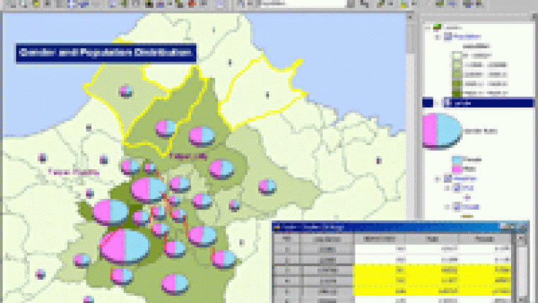
In this procurement, SuperGIS Desktop 3.1 helps the department develop a public works information system to visualise and manage spatial data for improved asset and work order management, planning, workflow, as well as greater organisational efficiency. In addition, SuperGIS Server 3.1 allows the department to deliver GIS capabilities and map services throughout the organization to increase the productivity when making crucial decisions.
Supergeo co-exhibited with Evolving GeoSystems at Middle East Geospatial Forum in March to widely promote SuperGIS software in the Middle East region. The two parties will continually encourage the use of GIS through product training to overcome spatial-related problems for users and gradually increase the regional market share.

Value staying current with geomatics?
Stay on the map with our expertly curated newsletters.
We provide educational insights, industry updates, and inspiring stories to help you learn, grow, and reach your full potential in your field. Don't miss out - subscribe today and ensure you're always informed, educated, and inspired.
Choose your newsletter(s)


