Leica Airborne Direct Georeferencing System
Leica Geosystems has released the Leica IPAS20 modular standalone system, which delivers direct georeferencing for a wide range of airborne sensors such as imaging, LIDAR, synthetic aperture radar (SAR), thermal and multispectral systems. It is equipped with the latest GPS/GLONASS technology and a plug and play IMU interface. Leica Geosystems provides a complete airborne workflow that includes software. The workflow includes direct georeferencing of airborne sensor data and camera orientation, flight planning, flight execution, flight evaluation and project management.
In the complete Leica Geosystems workflow, IPAS20 with IPAS Pro and IPAS CO permit data acquisition and direct georeferencing of airborne sensor data and camera orientation. Leica FPES is used for optimised flight planning, flight evaluation and project management. Leica FCMS performs flight guidance and sensor control, plus in-flight data evaluation, recording and reporting. Post-processing includes Precise Point Positioning (PPP) technology that takes advantage of downloaded precise satellite orbit and clock corrections to the trajectory. The accuracy is between 5cm and 40cm. With PPP, no base station setup is required as it is for the traditional differential GNSS positioning technique.
Through the acquisition of precise positional coordinates of the photo centers and their use in an AT photogrammetric block adjustment, the number of ground control points (GCP's) can be reduced to a few check points.
The RCIF30 interface is available for users of the Leica RC30 aerial camera system. It is side mounted on the IPAS20 Control Unit and optimally connects the aerial camera system to the IPAS20 and FCMS. All components act as one compact system that provides direct georeferencing, flight guidance and camera control for RC30 users. This setup is the successor to the Leica ASCOT for RC30.
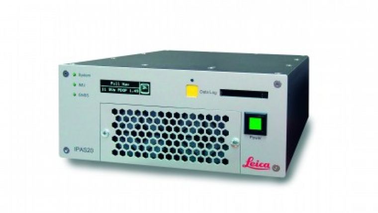
Caption: The new Leica IPAS20 Control Unit

Value staying current with geomatics?
Stay on the map with our expertly curated newsletters.
We provide educational insights, industry updates, and inspiring stories to help you learn, grow, and reach your full potential in your field. Don't miss out - subscribe today and ensure you're always informed, educated, and inspired.
Choose your newsletter(s)


