Leica GeoMoS Version 4.0 Released
Leica Geosystems (Switzerland) has released version 4.0 of Leica GeoMoS, an open, scalable and customisable software suitable for a wide range of monitoring applications.
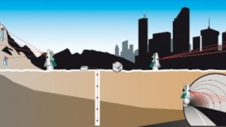
| Leica GeoMoS v4.0 is able to combine geodetic, geotechnical and virtual sensors for individual projects. |
Version 4.0 unites the geodetic and the geotechnical world. It supports Campbell Scientific dataloggers, providing more flexible integration of geotechnical sensors whilst the addition of ‘virtual sensors' enables combination of measurements and results at a mathematical level.
With Version 4.0, Leica GeoMoS now supports the integration of Campbell dataloggers that can connect most commercially available analogue geotechnical sensors, performing both signal measurement and sensor excitation. The dataloggers are programmable and record data over time from connected geotechnical sensors. GeoMoS Monitor interfaces with the dataloggers, enabling the measurement data to be read and stored in the GeoMoS database.
Geotechnical sensors measure non-georeferenced displacements or movements and related environmental effects or conditions. The major uses of these sensors are to:
- directly measure mechanical, electrical, thermal, chemical or optical parameters,
- measure relative movements directly on the structure,
- measure below the surface or inside the material of the structure,
- measure environmental affects that can be used to calibrate other instrumentation (e.g. meteorological corrections to total station measurements).
Supplementing the geodetic measurements with geotechnical data can help to understand the reasons for any detected movement and to improve the failure prediction.
Additionally, Leica GeoMoS v4.0 supports so-called "virtual sensors", which allow the user to model the output of one or more sensors using constants, mathematical functions and/or logic operators. Virtual sensors can be used for calibration of measurements or computation of parameters of interest, such as convergences or torsions. Virtual sensors are easy to configure and can be analyzed in the same way as the more traditional measurement data and results.
Leica GeoMoS v4.0 requires a valid software maintenance key for successful installation and operation.

Value staying current with geomatics?
Stay on the map with our expertly curated newsletters.
We provide educational insights, industry updates, and inspiring stories to help you learn, grow, and reach your full potential in your field. Don't miss out - subscribe today and ensure you're always informed, educated, and inspired.
Choose your newsletter(s)


