LINZ takes New Zealand to the cloud with 20TB aerial data
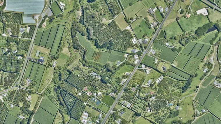
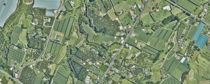
Land Information New Zealand has made 20TB of aerial imagery available for free for the first time in a cloud-optimized format on Amazon Web Services (AWS), making it easier and faster to access these large datasets over the internet.
It includes the latest high-resolution imagery of the New Zealand landscape and imagery flown for emergency response. Also included are historic images of farmland and forestry from the 1970s to the mid-2000s, ‘stitched together’ from multiple scanned files through a Ministry for Primary Industries project to show rural Aotearoa – the contemporary Māori-language name for New Zealand – in a new light.
A cloud-optimized format allows for more efficient processing, such as users being able to retrieve just the part of the image they need rather than downloading the entire file. The approximately 400,000 images are available now on the Registry of Open Data on AWS, with support from the AWS Open Data Sponsorship Program. The registry provides unrestricted access to openly licensed datasets.
AWS’s sponsorship programme covers the cost of storage and data transfer for valuable publicly available datasets. The aerial images in the Land Information New Zealand data bucket will continue to be available from the LINZ Data Service and Basemaps, the agency’s online channels for public imagery data.
Improved aerial mapping technology
Land Information New Zealand (LINZ) head of location information Aaron Jordan said aerial imagery was being captured at higher resolutions over larger areas as technology improved. “We now have more than 20 individual surveys over 500GB in size, including high-resolution imagery covering 95 percent of the motu. Regional and local councils have gathered this data over many years and it’s historically important.”
By offering access via the cloud, Land Information New Zealand has cut the time it takes for bulk retrieval of aerial data for analysis from several weeks to just one day, making it easier for people and organizations to access the data.
“When users are looking for bulk access to these massive files, they’ve previously either had to split them into multiple downloads or we have had to courier hard drives around the country. Making the data available through the cloud puts the user in the driver’s seat – they’ll have instant access to it whenever they want.”
Aaron Jordan further stated the aerial imagery maintained and shared by Land Information New Zealand was widely used with tens of thousands of data requests a year. “After Cyclone Gabrielle, councils used aerial imagery to assess damaged areas and decide how to prioritize their responses and it’s now helping with planning for future weather emergencies. Aerial imagery is invaluable for tracking land-use changes over time and better understanding the landscape we have now. The data has a huge range of uses, from research to property sales and from farming to engineering."

Value staying current with geomatics?
Stay on the map with our expertly curated newsletters.
We provide educational insights, industry updates, and inspiring stories to help you learn, grow, and reach your full potential in your field. Don't miss out - subscribe today and ensure you're always informed, educated, and inspired.
Choose your newsletter(s)


