Looking back on Intergeo 2023: mapping success in Berlin
The curtains have fallen on Intergeo 2023. What were the key takeaways from the vibrant three-day event in Berlin? From 10-12 October, a diverse array of experts and enthusiasts from the global geospatial sector descended on the German capital for the world’s premier international trade fair for geodesy, geoinformation and land management.
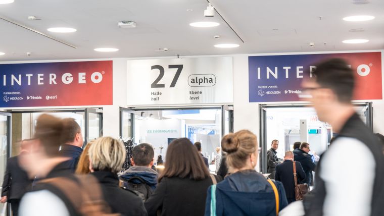
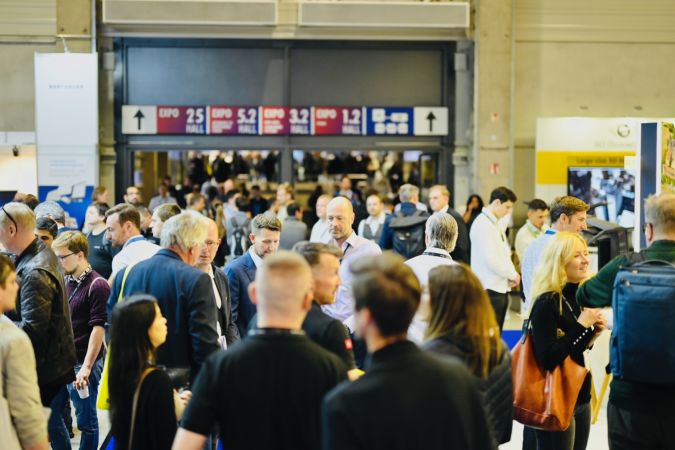
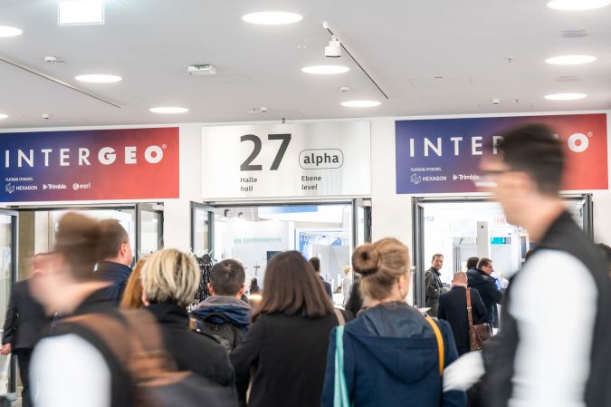
As the industry’s leading event, Intergeo serves as the hub that unites the geospatial community, forging connections between professionals across various sectors. This year’s Intergeo achieved a staggering attendance of nearly 17,000 trade visitors hailing from 112 different nations, who could explore the offerings from 571 exhibitors representing over 40 countries. Meanwhile, for the conference, over 300 speakers and 841 attendees from 42 nations converged in Berlin. This reaffirmed Intergeo’s stature as the preeminent trade fair and international congress platform for all facets of geodesy, geoinformation and land management.
Prof Dr Rudolf Staiger, president of the German Association for Geodesy, Geoinformation, and Land Management (DVW) which organized the event, expressed his satisfaction with the event’s resonance: “The response of the exhibiting companies and the visitors at the exhibition and the feedback from the conference participants confirm our concept. We have positioned strong themes such as Earth observation and environmental monitoring, smart city, building information modelling (BIM) for infrastructure, digital twins, maritime solutions, 4D geodata and 3D cadastre. These are all elements of geospatial data-based solutions for sustainable development. With this focus, we have struck a nerve.”
Global perspective on sustainable development
Intergeo 2023 underscored the vital role of global Earth observation technologies, including Copernicus and Galileo, as information sources for localized decision-making in addressing issues such as climate change, poverty alleviation, clean energy and sustainable urban development. Both the exhibition and conference emphasized that global monitoring and Earth observation provide the foundational insights necessary for grasping complex interconnections. In a world beset by the urgency of climate change and other crises, precise spatial information is indispensable for individuals making crucial local decisions. Geospatial industry practitioners stand ready to provide this critical data.
Jack Dangermond, founder and CEO of the GIS software group Esri, highlighted the significance of GIS in charting a sustainable future. He emphasized the importance of shared geographic knowledge in addressing contemporary challenges, stating: “Sustainability begins with geography because it provides a deep understanding of holistic events. GIS as the foundation for digital twins enables us to understand impacts, model scenarios and derive necessary decisions. We must act, because we are living beyond our means. Geospatial data is the foundation for generations to come.”
Invaluable for diverse user industries
Local governments, urban planners, climate researchers, mobility experts, marketers, farmers, foresters, oceanographers and a multitude of other professionals rely heavily on the expertise of the geospatial community. The industry’s toolkit includes an impressive array of solutions: cloud technologies, artificial intelligence, digital twins, BIM, uncrewed aerial vehicles (UAVs or ‘drones’), GIS, big data and more. Intergeo once again demonstrated the remarkable possibilities afforded by these innovations, according to the DVW president.
Innovative product launches
It is impossible to mention all the product launches and updates that took place at this year’s Intergeo, but one of the notable innovative products unveiled came from DJI, which presented the Zenmuse L2. This high-precision aerial Lidar system with a 4/3 CMOS RGB camera enhances the accuracy of data collection for drones. Meanwhile, IGI introduced the EcoMapper, a five-band aerial camera system with thermal imaging capabilities. Elsewhere at the expo, Vexcel showcased the UltraCam Dragon 4.1 aerial mapping system, known for its precise elevation data and high-accuracy imaging. RIEGL presented a range of products, including the VQX-2 helicopter pod and the VUX-180-24, ideal for high-speed surveying missions.
Another interesting product came from Hexagon/Leica: the BLK2GO PULSE, a groundbreaking first-person laser scanner set to reshape reality capture. Furthermore, JOUAV introduced the VTOL Hangar, a noteworthy advancement in vertical take-off and landing (VTOL) drones. This technology promises precision and efficiency across various industries, including powerline inspection, aerial mapping and smart city planning. Last but not least, Exail presented the Atlans 3, a cost-effective inertial navigation system (INS) dedicated to land and air mobile mapping applications.

German side events
One sector that can reap substantial benefits from the innovations showcased by the geospatial industry is construction. The integrated side event called ‘BIM-Days Germany’ served as a platform for the digital construction and building industry, highlighting the growing synergy between the fields. Dr Josef Kauer, the initiator of BIM-Days Germany, emphasized the integral role of geodesy in planning and construction processes, asserting that it is essential for sustainable, carbon-neutral construction.
The 71st German Cartography Congress (DKK), which was organized by the German Cartographic Society and seamlessly integrated into Intergeo 2023, provided additional highlights. Topics explored included generalization with machine learning and artificial intelligence, maps tailored for mobile use, and hazard mapping. Prof Dr Jochen Schiewe, president of the German Cartographic Society, stressed the pivotal role of cartography in translating Earth observation and data acquisition results for a broad audience.
Fostering talent development
Rooted in engineering sciences, the fields of geodesy, geoinformation and land management are deeply committed to nurturing young talent and specialists. DVW e.V. recently launched the Arbeitsplatz Erde platform that connects aspiring youngsters with the geospatial industry. DVW e.V. supported this with intensive promotional activities targeted at young people during the Intergeo Expo and Conference in an aim to inspire the next generation. Additionally contributing to the development of young talent, the Geodesy Prize and Promotion Prize recognized outstanding final theses by students in the domains of geodesy, geoinformation and land management.
Market expansion
The event’s international growth was underlined by the heightened presence of international exhibitors and trade visitors, as well as by the participation of the World Geospatial Council (WGIC), an international non-profit association. DVW President Staiger remarked that the organizers had witnessed a significant increase in international participation at both the expo and the conference, confirming the expanding international market presence. The organizers expressed their satisfaction with Intergeo’s outcome, highlighting the overwhelming response from exhibitors, visitors and conference attendees.
Intergeo 2024 in Stuttgart
In anticipation of Intergeo 2024, many exhibitors have already secured their participation in the next edition, which is scheduled for 24-26 September 2024. It will be held in Stuttgart, which is the country’s sixth-largest city and the capital of the southern German state of Baden-Württemberg. Stuttgart has built a reputation as a vibrant hub for international corporations and cutting-edge technology. This makes it an ideal host for the leading gathering of the worldwide geospatial community, which continues to be the driving force for shaping the future based on geoinformation-driven innovation in administration, business and science.

Value staying current with geomatics?
Stay on the map with our expertly curated newsletters.
We provide educational insights, industry updates, and inspiring stories to help you learn, grow, and reach your full potential in your field. Don't miss out - subscribe today and ensure you're always informed, educated, and inspired.
Choose your newsletter(s)


