Mach9 launches high-speed geospatial production software
The Mach9 software platform produces 2D and 3D maps from mobile Lidar 30 times faster than existing solutions, according to the North American company. This is the first product launched by Mach9, but the company is already preparing for future growth by upgrading its website, hiring key engineering and sales leaders, moving into new headquarters in Pittsburgh’s Bloomfield neighbourhood, and establishing a presence in Silicon Valley.
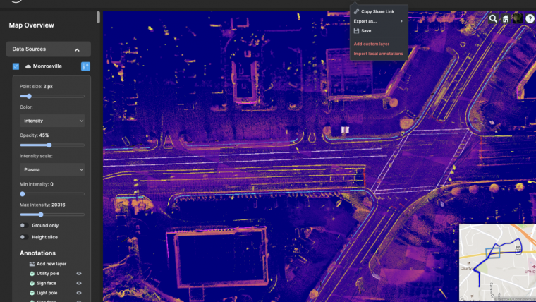
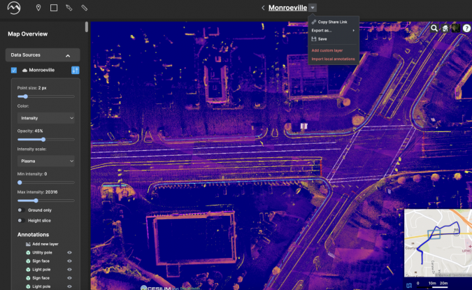
The new product leverages artificial intelligence (AI) and computer vision to produce 2D and 3D CAD and GIS engineering deliverables faster than ever before, according to Mach9. This product launch comes amidst the company’s pivot to a software-first business model – a move driven by the rising demand for tools that accelerate geospatial data processing and analysis for infrastructure management.
“The organizations that own and manage our infrastructure are dependent on high-quality maps. New mapping technologies, like mobile Lidar, have transformative potential for engineering and construction firms, departments of transportation, electric utilities, railroads and other government entities. However, the high costs and long wait times required to generate mapping deliverables are hampering the broad adoption of these tools,” says Alexander Baikovitz, co-founder and CEO. “Our goal at Mach9 is to unlock this potential by creating a geospatial production platform for those that need high-quality maps and actionable data fast.”
Advances in data collection
The rapidly growing geospatial technology industry has been driven by recent advances in data collection via reality-capture solutions such as 360-degree cameras, remote sensing on drones, and mobile Lidar. These systems generate unprecedented three-dimensional data on real-world objects such as buildings, roads, highways, railroads and above-ground utilities. However, these massive datasets, which are often composed of both high-resolution imagery and Lidar point clouds, are highly complex and require labour-intensive and time-intensive processes in order to convert them into usable maps and digital twins.
Mach9 has been developing advanced mapping and data collection tools since the company’s founding in 2021 at Carnegie Mellon University (CMU). The co-founders – Alexander Baikovitz, Haowen Shi, Michael Mong and Zachary Sussman – met during their time at CMU’s world-famous Robotics Institute. They realized that their combined experiences of developing complex robotic systems for autonomous mapping and mobility could be leveraged to help infrastructure organizations adopt technologies that ultimately improve everyday life.
Holistic picture of the world based on AI and computer vision
“We found that instead of saving time and money, many infrastructure organizations were burdened with labour-intensive data manipulation,” says Zach Sussman, head of software engineering. “We leveraged our deep understanding of AI and computer vision capabilities to build a software solution that intelligently combines information from cameras, Lidar and other sources to create a holistic and comprehensive picture of the world. Ultimately, it is a very elegant solution to a complex problem that drastically reduces the time to create 2D and 3D maps.”
To request a demo of the platform, which is currently in ‘beta’ with a select group of customers, complete a request form on www.mach9.ai.

Value staying current with geomatics?
Stay on the map with our expertly curated newsletters.
We provide educational insights, industry updates, and inspiring stories to help you learn, grow, and reach your full potential in your field. Don't miss out - subscribe today and ensure you're always informed, educated, and inspired.
Choose your newsletter(s)


