National Geospatial Data Has Key Role in Achieving EU Green Deal
Official geospatial data from Europe’s national mapping, cadastral and land registration authorities has a key role to play in achieving the aims of the European Union (EU) Green Deal. This is particularly true for the three new proposals adopted by the European Commission in November 2021: to stop deforestation, innovate sustainable waste management, and make soils healthy for people, nature and climate.
Whether visualizing information on national and pan-European maps to monitor progress, or providing access to relevant information, such as geographic coordinates, data from EuroGeographics' members provides a vital tool for sustainability, biodiversity and a circular economy.
For example, in France IGN – French Mapping Agency (Institut Géographique National) supports the national soil artificialization observatory and is delivering large-scale land use and land cover data for the measurement of soil artificialization. There are many benefits, including promoting a shared diagnosis of the process of soil artificialization for the preservation of biodiversity, food autonomy and the fight against global warming.
Geospatial data goes beyond borders
EuroGeographics firmly believe that there are few things more powerful than location; it not only tells us where things happen but also provides the link between information and action. Geospatial data is at the core of all environmental actions ‘on the ground’ and has a wider use in supporting policies. All too often, however borders prove to be obstacles in translating national benefits into international policy success – geospatial data is the only smart way to work beyond the notion of border and be efficient.
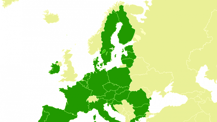
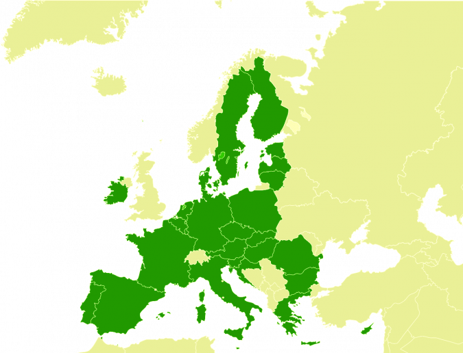
Together with its members, EuroGeographics provides the only interoperable pan-European datasets created using official authoritative geospatial data. All are updated annually and harmonized to standard specifications, so users can be confident that the information provided is consistent, comparable and easily shared – regardless of its national source. Members’ foresight in creating datasets covering geographical Europe has already delivered huge value for users requiring cross-border information, and they continue to support both national and international policy through their strategic vision of a society empowered by the use of their trusted geospatial services.

Value staying current with geomatics?
Stay on the map with our expertly curated newsletters.
We provide educational insights, industry updates, and inspiring stories to help you learn, grow, and reach your full potential in your field. Don't miss out - subscribe today and ensure you're always informed, educated, and inspired.
Choose your newsletter(s)


