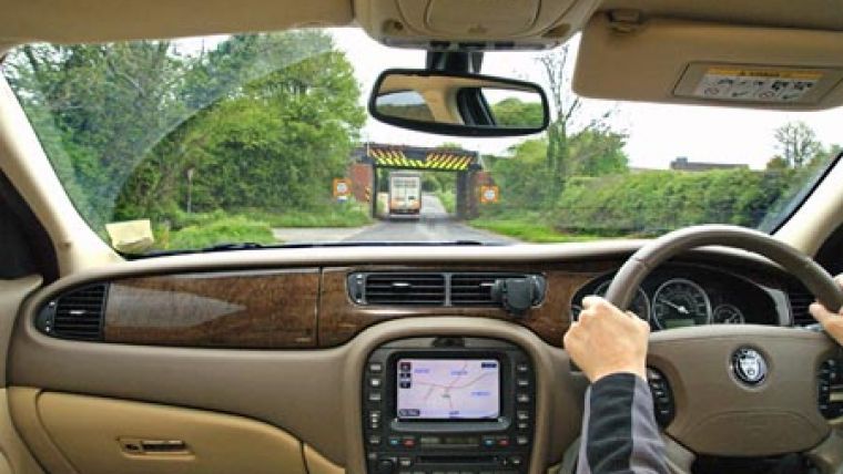
National Street Database to Prevent SatNav Mishaps
A new national street database providing details of low bridges, narrow roads and other restrictions could help to reduce satellite navigation errors. The National Street Gazetteer (NSG) lists over one million UK streets and is already widely used to help co-ordinate roads works across England and Wales. It has been updated to a new format that enables Highways Authorities to record heights, weights and width restrictions, and directions (one way or two way) against individual roads and streets.
The new DTF 7.1 format, which is compliant with BS7666:2006, also enables closer alignment with the National Land and Property Gazetteer, the country's definitive list of property addresses. Improving both the richness of the data held in the NSG and the data checking routines will enable those involved in road works to consult and co-ordinate more effectively, reducing inconvenience and congestion.
Significantly the ability to record heights, weights, width restrictions relating to weak bridges, low bridges, or simply streets not wide enough for HGVs, now makes the NSG particularly useful to emergency services, transport firms and satellite navigation companies.
Roads and streets are part of the country's infrastructure and currently there are 1,127,730 of them listed in the NSG. Issues such as congestion, capacity planning, street works, accidents, incidents and maintenance can affect them all.
Uses could include command and control, routing, incident handling and risk assessment. In the absence of a suitable alternative the NSG could easily become the preferred source of definitive road information, providing recommended freight routes, motorway incident diversion routes and much more. The additional street data file (ASD) provides essential information, such as traffic sensitivity, bridges and structures, whilst closer alignment with the National Land and Property Gazetteer, already chosen for future fire incident mobilisation, makes its wider adoption more likely still.

Value staying current with geomatics?
Stay on the map with our expertly curated newsletters.
We provide educational insights, industry updates, and inspiring stories to help you learn, grow, and reach your full potential in your field. Don't miss out - subscribe today and ensure you're always informed, educated, and inspired.
Choose your newsletter(s)


