NigeriaSat-2 Completed Pre-launch Testing
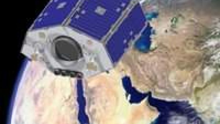
The latest Earth observation satellite from UK small satellite manufacturer SSTL has successfully completed pre-launch tests and has been integrated with a Dnepr launch vehicle. NigeriaSat-2, one of the most advanced Earth observation small satellites ever to be launched, will lift-off from Yasny in southern Russia on 17th August 2011, together with NigeriaSat-X, which was built under a training and development programme.
Designed and assembled at SSTL in Guildford, UK, the satellites will provide the Nigerian National Space Research and Development Agency (NASRDA) and the Disaster Monitoring Constellation (DMC) with very high resolution imaging capability. The NigeriaSat-2 is based on the SSTL 300 platform and will deliver multiple viewing modes to a maximum 2.5m panchromatic (black and white) ground sample distance (GSD) and 5m multispectral (colour) GSD across a 20km swath width.
A second 32m GSD, 300km swath width multispectral imager will provide data continuity with Nigeria's previous SSTL-built satellite, NigeriaSat-1, launched in 2003 and still operational.
NigeriaSat-2's very high resolution imagery gives the ability to pinpoint individual buildings, roads or fields of interest from space and will be used to provide data for urban planning, important to Nigeria's rapidly-expanding cities. NASRDA plans to use the satellite to map the entire country in detail every four months as well as to enhance food security for Nigeria, Africa's most populated country, through monthly crop monitoring.
In total, 26 Nigerian engineers participated in the project, working on the satellite for 18 months throughout the design and test phases. The satellite offers 22m multi-spectral GSD across a 600km swath width.
NigeriaSat-2 and NigeriaSat-X will add new, higher resolution imaging capability to the Disaster Monitoring Constellation, a fleet of separately owned small satellites, coordinated by DMC International Imaging Ltd (DMCii) for daily global monitoring.
The SSTL 300 platform provides high agility with the capability to roll up to 45° off-centre, possessing extremely accurate geolocation performance using a combination of onboard GPS receivers, star trackers and compact MEMS gyros adapted from terrestrial automobile control systems.
NigeriaSat-2's innate agility enables a variety of viewing modes, including stereo imaging, artificial image widening and fast response, with the ability to image any spot on the Earth within two days.
Built for a 7 year operational lifetime, NigeriaSat-2's very high resolution imagery will see it acquiring and downlinking 20 times more data per day than its NigeriaSat-1 predecessor, providing large quantities of data for sale on the commercial market.

Value staying current with geomatics?
Stay on the map with our expertly curated newsletters.
We provide educational insights, industry updates, and inspiring stories to help you learn, grow, and reach your full potential in your field. Don't miss out - subscribe today and ensure you're always informed, educated, and inspired.
Choose your newsletter(s)


