NOAA, Google Join Forces to Visualise Scientific Data
NOAA's Office of Oceanic and Atmospheric Research and Google have signed a cooperative research and development agreement outlining how they will work together to create state-of-the-art visualizations of scientific data to illustrate how our planet works.
"It is said that a picture is worth a thousand words. Here, we think NOAA's billions of bits of data are worth thousands of pictures," said Richard W. Spinrad, Ph.D., NOAA assistant administrator for oceanic and atmospheric research. "Through this agreement, Google's technical expertise will help to improve access to NOAA data in ways that allow the scientific community and the public to better use our information to understand earth science and make informed decisions."
Under the agreement, NOAA and Google plan to work together on research and development to join NOAA's oceanographic, meteorological, biological, and climatological data with Google's software capabilities. The wide availability of Google's Internet tools has the potential to bring visualizations of NOAA data to new audiences around the world.
The agreement lists six topic areas in which NOAA and Google may pursue cooperative research projects of mutual interest:
Engaging the public in ongoing and historic scientific expeditions including those of the NOAA ship Okeanos Explorer;
Compiling and improving bathymetric datasets to display in Google Earth and make available for downloading;
Expanding NOAA efforts to publish oceanographic data, especially data from the NOAA-ledIntegrated Ocean Observing System;
Expanding NOAA efforts to publish climate data, especially data from the greenhouse gas monitoring system;
Increasing the amount of data available for NOAA's Science on a Sphere, an educational Earth science display system, [http://sos.noaa.gov/] by adapting it to display files in the Keyhole Markup Language, the file format Google Earth and Google Maps use for geographic data; and
Providing interactive access to marine zoning and regulatory information concerning regions such as continental shelf boundaries and marine protected areas.
The new cooperative research and development agreement will allow NOAA to pursue projects that are beyond the limits of its in-house technological resources. It gives Google the opportunity to take on technical challenges and develop new ways to display information.
NOAA and Google previously worked together to bring a Great Lakes feature to Google Earth and to include NOAA information in the Ocean in Google Earth tool.
NOAA understands and predicts changes in the Earth's environment, from the depths of the ocean to the surface of the sun, and conserves and manages our coastal and marine resources.
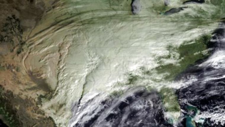
Image: a storm developing in the mid-west, developing on 29th January 2010. Image Courtesy: NOAA.

Value staying current with geomatics?
Stay on the map with our expertly curated newsletters.
We provide educational insights, industry updates, and inspiring stories to help you learn, grow, and reach your full potential in your field. Don't miss out - subscribe today and ensure you're always informed, educated, and inspired.
Choose your newsletter(s)


