OHLA Presents Innovative Railway Digitization Project
OHLA has recently unveiled details of the Lund-Arlöv project (Sweden), where it has carried out one of Europe's most advanced digitization projects. The details were revealed at the recent Esri Spain conference, a large geospatial technology event in Europe.
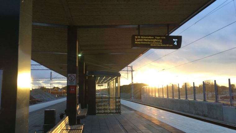
The project, an innovative example of the combined use of BIM methodology, GIS and unmanned aerial vehicles (UAVs or 'drones'), is aimed at improving one of Sweden’s busiest rail routes which carries 450 trains and approximately 60,000 passengers daily. Upon completion of the works, the capacity will be increased to 650 trains and 80,000 passengers per day.
Symbiosis between BIM, GIS and Drones
Manuel Carpintero, BIM manager at OHLA, and creator of the application, detailed in his presentation the role played by the digital twins, a virtual representation of the real world generated from BIM models, drone images and GIS in the construction of this railway section.
Projects such as Lund-Arlöv “are an excellent example of the potential of digitalization in construction and more specifically the symbiosis between BIM, GIS and drones. It is this workflow that OHLA is firmly committed to in its railway works,” according to Manuel Carpintero, who also participated in Autodesk’s Rail Summit 2022 in Amsterdam to talk about the use of these technologies in civil works.
Specifically, in this contract, the digital twins have been used to visualize, analyse and control all kinds of relevant parameters and processes such as earthworks, best access routes to the work front, site access management, site units, temporary occupations and environmental management, among others.
Access to the data has been carried out through a dashboard, an open application for mobile devices and web viewers, developed by OHLA, which gives access to the information to the people involved in the project. It is a tool that promotes communication and collaboration and allows the project to be viewed as a whole. Its 3D vision provides a high level of updating and detail of the progress of the work, as well as significant cost savings and agility in decision making. At the peak of the project, more than 300 people have been handling information at the same time.


Value staying current with geomatics?
Stay on the map with our expertly curated newsletters.
We provide educational insights, industry updates, and inspiring stories to help you learn, grow, and reach your full potential in your field. Don't miss out - subscribe today and ensure you're always informed, educated, and inspired.
Choose your newsletter(s)


