Ordnance Survey Extends OS MapFinder App to Android
The OS MapFinder app, which has been available on iOS since earlier this year, is an addition to the UK mapping authority’s digital portfolio of products. Users can share between OS MapFinder and OS Getamap, including over 250,000 routes. The feature allows the sharing of routes across both of Ordnance Survey leisure platforms, enabling users to see and explore routes on the digital mapping of Great Britain.
Ordnance Survey has added the feature for Android users to be able to lock orientation on the app. Many other features are still in development for the Android version and the first update is already in sight.
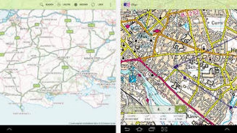
OS MapFinder is free to download from the ‘Travel and Local’ category of Google Play Store and includes free overview mapping for the whole of Great Britain. Once downloaded OS MapFinder allows users to purchase and download more detailed map data for outdoor use.
A feature of the app is the tile download facility, providing users with the freedom to choose the maps they want. All maps are stored on the device, meaning they can be used without a Wi-Fi or mobile signal, improving reliability and the experience of using the maps outdoors. OS MapFinder allows users to record or draw their walking, cycling or running routes, adding photos and commentary along the way.

Value staying current with geomatics?
Stay on the map with our expertly curated newsletters.
We provide educational insights, industry updates, and inspiring stories to help you learn, grow, and reach your full potential in your field. Don't miss out - subscribe today and ensure you're always informed, educated, and inspired.
Choose your newsletter(s)


