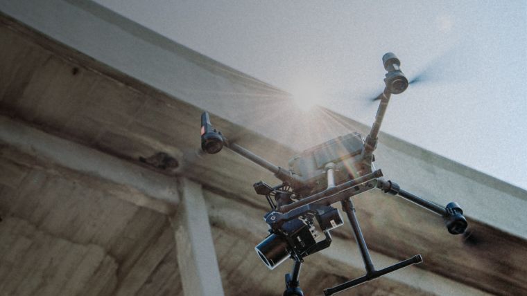
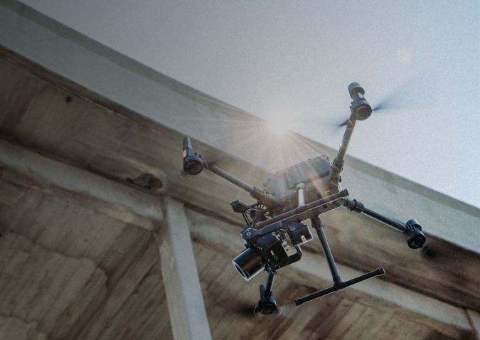
Phase One Addresses Key Aerial Mapping Challenges with New Solution
Professional aerial camera company Phase One has launched its P3 Smart Focus. The new Smart Focus Features addresses key challenges where contrast-based focus fails to deliver robust and consistent results. The features are purpose-built for the inspection of complex high-volume industrial assets such as wind turbines or power towers.
“With our new Smart Focus Features we are providing our customers with a unique capability that ensures that all the data is captured every time,” said Michael Messerschmidt, portfolio director drones/UAVs. “High data quality in complex operating environments is business critical for most of our customers who inspect remote or inaccessible assets where re-flying a mission is not always an option.”
All features are based on the P3’s 100Mp medium format sensor, high-quality AF lens range and the integrated laser-based focusing system. The superior performance is delivered by increasing focusing robustness in low-contrast environments and increasing focusing consistency for complex assets with a small surface area.
Advanced Focus Bracketing
One of the key features in the Smart Focus Feature is advanced focus bracketing. The feature should be used when there is a need to inspect many deep and complex assets with several details in areas that are remote or inaccessible making re-flying very costly. This is an innovative feature that will empower customers to get more effective flight time as the operator only positions the UAV once per image sequence. Another reason to use focus bracketing is that it makes it easier to scale an inspection mission as the feature increases consistency regardless of the skill level of the pilot. The feature will also help to increase automatization as the need for a human in loop for quality assurance is dramatically reduced.
Another key feature is the advanced focus limit control, which allows users to set the minimum and maximum range that the lens will focus on. This feature can be used to reduce the chance of images being out of focus even in complex scenarios such as capturing wind turbine tips, to facilitate enhanced mission automatization with mission planning software, to make it easier for new pilots to capture high-quality data, to increase output consistency and to reduce the chance of needing to re-fly the mission – especially in inaccessible or remote locations.
More details on the Phase One P3 Smart Focus Feature are available here.

Value staying current with geomatics?
Stay on the map with our expertly curated newsletters.
We provide educational insights, industry updates, and inspiring stories to help you learn, grow, and reach your full potential in your field. Don't miss out - subscribe today and ensure you're always informed, educated, and inspired.
Choose your newsletter(s)


