Pythagoras 12.00
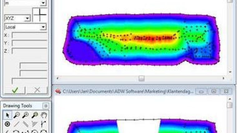
Pythagoras 12 is the new version of the standalone CAD program that focuses on markets concerning surveying, constructing, engineering. New features are a link to Google Earth, integration of different national and global coordinate systems, DTM editing capability and DWG compatibility up to version 2001.
For the users, the new reporting system and the option to customise the toolbars may be welcomed additions. The package gives the user the possibility to treat measurements accurately and to finish drawings swiftly. Thanks to the modular system, the user can compose a software package according his or her needs. Digital terrain models, road design, importing field data and georeferenced images can be managed. For any given problem or situation, that can't be resolved with the integrated functions, a macro can written. This way users can personalise their copy of Pythagoras to your their requirements.

Value staying current with geomatics?
Stay on the map with our expertly curated newsletters.
We provide educational insights, industry updates, and inspiring stories to help you learn, grow, and reach your full potential in your field. Don't miss out - subscribe today and ensure you're always informed, educated, and inspired.
Choose your newsletter(s)


