Racurs Conference 2013 Venue Unveiled
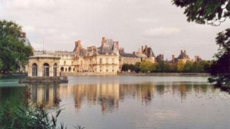
The 13th edition of the annual Racurs Conference will be held from 22-26 September 2013 in Fontainebleau, which is located about 50km southeast of the centre of Paris, France. The full name of the event is the International Scientific and Technical Conference, 'From imagery to map: digital photogrammetric technologies'.
For the last 12 years, the conference has been bringing together professionals of the leading companies, agencies and universities from Russia and other countries, providing them with the great opportunity to broaden their knowledge of digital photogrammetry technologies and remote sensing through discussions and sharing of experiences during seminars, workshops and group meetings.
The organisation commented that it is proud of the fact that conference acts as a professional bridge between Russian and foreign specialists, which is helped by the conference being held in a different country each year. Besides Russia, it has previously taken place in Belarus, Latvia, Montenegro, Bulgaria, Croatia, Greece, Italy, Spain and Portugal.
Permanent participants of the conference include representatives of Russian Federal Space Agency: Corporation VNIIEM, RI PI, Research Center for Earth Operative Monitoring, TsSKB-Progress as well as representatives of the leading Russian and foreign companies: FSUE Roslesinforg, NP AGP Meridian+ (Russia), Gazprom VNIIGAZ (Russia), Eurosense (Belgium), Intergraf (USA), Geodis Brno (Czech Republic), Kazgeodeziya (Kazakhstan) and many others.
The Racurs Conference is known for its strong scientific content. Current themes of photogrammetry and remote sensing development have been reported by recognised authorities: Prof. Gottfried Konecny (Germany), Prof. Franz Leberl (Austria), Prof. Armin Grün (Switzerland), Prof. Gordon Petrie (UK), Prof. Victor Savinykh (Russia), Prof. Alexander Mikhaylov (Russia) and others.
The event is also a platform for developing business opportunities, searching for new partners and concluding new strategic alliances. Achievements in aero and space survey are often demonstrated by such leaders as: Astrium Geo (France), GeoEye (USA), DigitalGlobe (USA), Microsoft/Vexel (Austria), Leica Geosystems (Switzerland), VisionMap (Israel).
Photo courtesy: Patrick Giraud.

Value staying current with geomatics?
Stay on the map with our expertly curated newsletters.
We provide educational insights, industry updates, and inspiring stories to help you learn, grow, and reach your full potential in your field. Don't miss out - subscribe today and ensure you're always informed, educated, and inspired.
Choose your newsletter(s)


