Real-time GIS Updates in the Field
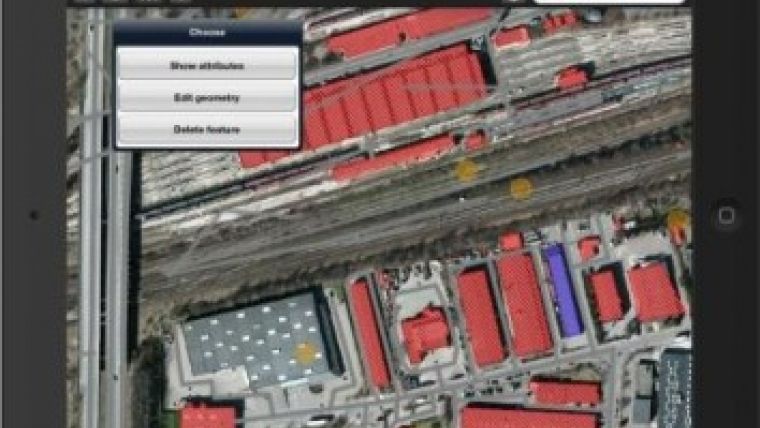
Intergraph, USA, has launched Intergraph Mobile MapWorks, a practical tool for performing on-the-fly field updates of geospatial information. Intergraph Mobile MapWorks is an iOS and Android tablet-based app for viewing, editing and updating field asset information in real time. It can be downloaded from the Apple iTunes and Google Play app stores.
Today's mobile landscape requires the ability to quickly and easily manage all field asset information through intuitive interfaces that have become the norm of mobile apps, said Mladen Stojic, vice president geospatial at Intergraph. Intergraph's Mobile MapWorks allows local government organisations to more easily manage field assets through tablets to drive faster, smarter decision-making.
Accessible through a simple interface, Intergraph Mobile MapWorks uses OGC-standard web services and is compatible with all GIS platforms on the market. As such, users can work directly in their database without any data conversion, synchronisation, or temporary data stores. This open architecture also allows field updates to become instantly available to any and all GIS platforms, on the desktop, web, or mobile devices. Intergraph Mobile MapWorks can be easily customised to meet the needs of local governments, utilities and public works organisations, with the flexibility to meet the specialised asset management needs of defence and intelligence agencies.
The launch of Mobile MapWorks supports Intergraph's efforts to bring mobile solutions to the marketplace that function as an extension of the overall enterprise with the ability to access geospatial data and asset and incident information in the field for real-time reviewing and updating. Other mobile offerings from Intergraph include Intergraph Mobile Responder and Intergraph Mobile Alert, meeting specific industry needs for public safety, government, and infrastructure organisations.
With data existing on both mobile devices and the enterprise, there is an inherent need for updating the data in real-time for enhanced reporting and accuracy when managing and monitoring assets in the field, added Stojic.
To learn more about Intergraph's Mobile MapWorks, click here.

Value staying current with geomatics?
Stay on the map with our expertly curated newsletters.
We provide educational insights, industry updates, and inspiring stories to help you learn, grow, and reach your full potential in your field. Don't miss out - subscribe today and ensure you're always informed, educated, and inspired.
Choose your newsletter(s)


