Satellite Technology of Wildlife Accounting
A meeting on the issues of application of space technology for monitoring and inventory of wild animals was held on 8th December, 2010 at ScanEx Research & Development Center. The most of the focus was on the issues of monitoring reindeer in Siberia, Far North and Far East. Leading specialists in sphere of wild animals’ inventory took part in this event, as well as representatives of scientific organisations and companies, specializing in development of satellite technology - SPIIRAS, “ES-PAS”, ScanEx, Commonwealth of Indigenous Minorities of the North, Siberia and Far East.
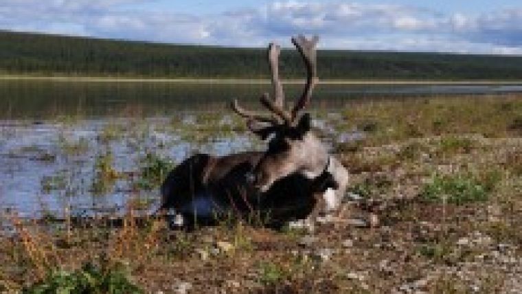
The central topic for the discussion were modern methods of assessing the number of wild reindeer on the territory of Taimyr, Chukotka peninsular, Republic of Sakha (Yakutia) and other regions. Along with the tame reindeer the wild reindeer is one of the basic species of mammals of life-supporting value for the indigenous peoples of the North.
A special attention was paid by the participants to the possibilities of using space imagery data for solution of tasks of habitat areas detection and monitoring of herds migration, as well as definition of approximate number of herds and of trends in their changes.
According to Deputy Head of the Biological Resources Department of the R&D Agricultural Institute of the Far North, Ph.D. (Biology) Leonid Kolpashchikov the Taimyr population of wild reindeer is the largest in Eurasia. Study results reveal that currently its number is estimated as 700 thousand heads. The population area covers the north of middle Siberia on the area of around 1.5 million sq.km. As of today, the method of wild reindeer quality definition includes the materials of exploration and inventory fly-arounds in the areas of sparse pasturing and concentration of reindeer, aerial photo survey with digital cameras and cameral data processing, including express analysis for approximate estimation of the livestock and a complete analysis for inventory results verification counting the number of animals on the photos and the computer.
Detection of changes in the population of hoofed animals depending on the intra-population and external factors - is a fundamental scientific problem. Its solution in current conditions requires the application of new tools and information technology, more efficient and less costly than those applied before.
The novelty of planned accounting is in joint application of modern satellite technology and the results of field and aerial studies of the Taimyr wild reindeer population using small aircrafts (AN-2, Ch-25 airplanes).
Refinement of methods of estimating the herds of reindeer is scheduled for 2011. At the first stage the plans are to work out the method of animals accounting using the herds of tame reindeer in the tundra zone of the Yenisei river left bank as an example (the "Tuhard" farm) and in the northern taiga zone of the Evenkis (the "Surinda" stud stock farm). Imaging of tame reindeer is planned to be held in spring (May), summer (July) and autumn (September). In September a space image of the herd of domesticated musk buffalos at the "Surinda" stud stock farm was captured.
In 2011 during the aerial census of the Taimyr wild reindeer population, space imagery will be made of the concentration of the largest groups of animals in Northern Taimyr. To detect the migration paths of the wild reindeer population in Western Taimyr there are plans to acquire 15 Argos neck collars for tracking from satellites in 2011.
Radio beacons of the satellite-based Argos system for detection of location and data collection has been actively used in Russia to monitor and track the relocations of wild animals. Alexander Salman, General Director of the ZAO ES-PAS, elaborated on the successful experience of application of local radio-beacons for wild reindeer, tigers, polar bears and marine mammals tracking during the thematic meeting at ScanEx RDC.
Methodical approaches have also been discussed and measures outlined for setting up a satellite-based monitoring of reindeer in 2011. The activities will be based on a comparative analysis of high resolution space images, aerial fly-arounds results and Argos satellite system-based monitoring of animals, archived data and other additional information.

Value staying current with geomatics?
Stay on the map with our expertly curated newsletters.
We provide educational insights, industry updates, and inspiring stories to help you learn, grow, and reach your full potential in your field. Don't miss out - subscribe today and ensure you're always informed, educated, and inspired.
Choose your newsletter(s)


