Satellogic Earth Observation Data Directly Available via UP42 API
Satellogic has entered into an agreement with UP42 enabling direct access to Satellogic’s satellite tasking high-resolution multispectral and wide-area hyperspectral imagery via the UP42 API-based geospatial developer platform and marketplace. The agreement includes the archive of high-frequency, high-resolution Satellogic data. Satellogic is a leader in sub-metre-resolution Earth observation data collection.
“This exciting new collaboration gives UP42 customers a distinct advantage in rapidly creating geospatial solutions,” said UP42’s CEO Sean Wiid. "Users can now derive insights from Satellogic data using algorithms and data fusion via our developer-first platform.”
Direct API access to Satellogic’s multispectral and hyperspectral data – with intraday updates – supports rapid, timely and frequent monitoring of critical assets in diverse sectors, such as energy, utilities, local government and security. The UP42 platform’s REST API and Python SDKs can be fully customized, allowing UP42 users to build cost-effective solutions and quickly deliver end products to their clients.
Adoption of EO Data Across New Markets
“Our mission of democratizing access to critical Earth observation (EO) data means making our data available where it’s convenient for end users,” said Thomas VanMatre, vice president of global business development at Satellogic. “UP42 is a leading geospatial marketplace with value-added capabilities, enabling its customers to access and analyse data without extensive expertise. It is collaborations like this alliance with UP42 that will increase adoption of EO data across new markets, driving better decision-making and outcomes.”
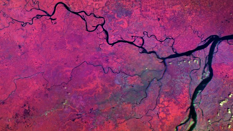
The growing Satellogic constellation currently consists of 22 operational small satellites, capable of acquiring 4-band (RGB NIR) multispectral data at 70cm (1m native) spatial resolution over a 5km swath and up to 29-band (460-830nm) hyperspectral imagery at 25m resolution over a 125km swath.
During pre-processing, Satellogic imagery is optimized for analysis by machine learning (ML) and artificial intelligence (AI) applications – a significant benefit for UP42 users who will have access to more than 75 ML/AI algorithms on the UP42 platform.
UP42 users will be able to apply Satellogic datasets and extracted knowledge to support projects in a range of applications spanning the public and private sectors, including agriculture & forestry, energy & sustainability, critical infrastructure management, finance & insurance, environment & climate and government.


Value staying current with geomatics?
Stay on the map with our expertly curated newsletters.
We provide educational insights, industry updates, and inspiring stories to help you learn, grow, and reach your full potential in your field. Don't miss out - subscribe today and ensure you're always informed, educated, and inspired.
Choose your newsletter(s)


