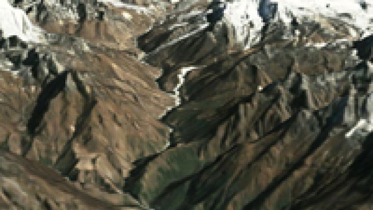
Success for 90m Global DEM
PlanetObserver global Digital Elevation Model (DEM), with a 90m resolution worldwide, is successful since its launch last Automn 2010. The advantages ranging from a truly global coverage to reliable and corrected data compared to SRTM v4 product from the Shuttle Radar Topography Mission have quickly convinced many companies in different industry sectors to acquire this terrain dataset. Application markets range from geological surveys to media solutions, visualisation and simulation products and satellite imagery processing.
Companies such as the French Geological Survey BRGM, Vizrt, Eurocopter, Astrium Services, the French Space Agency CNES and GAF AG are amongst the first customers of this elevation product.
A technical evaluation carried out by the Space Service of the French National Cartographic Institute IGN shows that PlanetObserver global 90m DEM offers higher performances than SRTM DTED1 product in many regions, with the additional benefit of a global coverage.
This new global elevation product is an addition to PlanetObserver 15m global imagery dataset.

Value staying current with geomatics?
Stay on the map with our expertly curated newsletters.
We provide educational insights, industry updates, and inspiring stories to help you learn, grow, and reach your full potential in your field. Don't miss out - subscribe today and ensure you're always informed, educated, and inspired.
Choose your newsletter(s)


