Workshop on Remote Sensing and Environmental Innovations in Mongolia
The 6th International Workshop on Remote Sensing and Environmental Innovations in Mongolia will be held on 10-11 June 2013 in Ulaanbaatar, the country's capital. The NUM-ITC-UNESCO Remote Sensing and Space Science Laboratory of the National University of Mongolia is the local organiser of the workshop.
The workshop will provide an opportunity to discover advanced geoinformation technology and applications and is an excellent platform for exchanging ideas, research results, professional experiences, and future visions in the fields of environmental innovation, remote sensing and GIS applications for environmental studies.
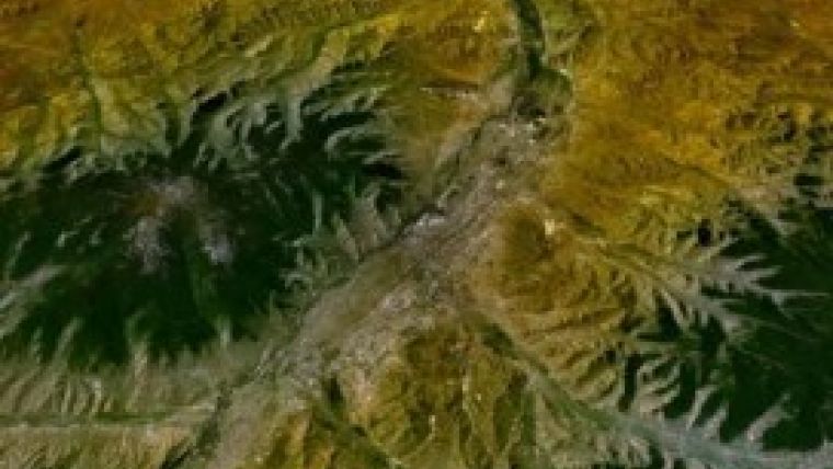
Mongolia’s changing lifestyles are intensifying pressures on the country’s environmental issues such as overgrazing, pollution from industrial and urban growth, desertification, and forest and steppe fire. Mongolia is prone to various natural processes that are driven by global climate change like drought, extremely snowy winters, flood, intensive shift of the natural zones and other natural disasters. In addition, an inadequate attitude of human with its surrounding environment, results in uncontrolled fire occurrence, deforestation, dry up of rivers and water sources.
Increasing awareness about applications of remote sensing and GIS is raising demand for satellite data to address Mongolian environmental problems. Advances in remote sensing and GIS offer users a novel way of obtaining accurate data on actual land use and land cover change. In recent days, unlike any previous periods in history, satellite data is becoming available and widely used in natural, social and human sciences.
The workshop will focus on various aspects of environmental problems, and it is believed to provide an opportunity to discuss how to respond effectively to the regional environmental changes while strengthening international cooperation and advanced use of remote sensing technology. Through the international workshop, the organisers hope to build an international cooperation on Earth observation, and environmental innovation, and efficient scientific exchange and collaboration.
Click here for more information on the programme.

Value staying current with geomatics?
Stay on the map with our expertly curated newsletters.
We provide educational insights, industry updates, and inspiring stories to help you learn, grow, and reach your full potential in your field. Don't miss out - subscribe today and ensure you're always informed, educated, and inspired.
Choose your newsletter(s)


