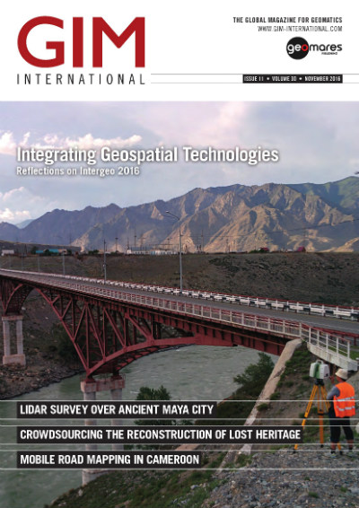
The November issue of GIM International contains several articles on challenging geospatial projects, such as a Lidar survey over an ancient Maya city, a mobile road mapping project in Cameroon and a feature on post-conflict land administration. Also not to be missed is the extensive interview with Arnulf Christl on the world of open source geospatial software. We hope you find the content of this edition as interesting and varied as we do! Don't want to read online? We also have a print edition.
Main topics in the November edition of GIM International:
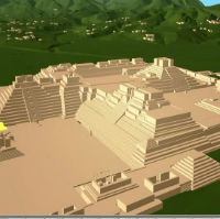
Lidar Survey over Ancient Maya City (p. 16)
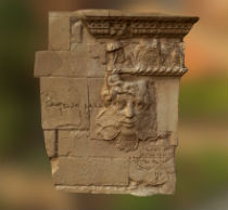
Crowdsourcing the Reconstruction of Lost Heritage (p. 21)
Open Geospatial Source Deserves Open Geospatial Minds (p. 12)
Low-power Wide-area Networks: Enabling geo-IoT (p.24)
Mobile Road Mapping in Cameroon (p.31)
Lidar Survey Ancient Maya City
 Page 16-19: The ancient Maya site of Copan, Honduras, has been captured during an airborne Lidar survey in May 2013. The resulting products are accessible through 2D and 3D WebGIS tools and enable archaeologists to collaborate online.
Crowdsourcing Reconstruction
 Page 21-23: Title: Crowdsourcing the Reconstruction of Lost Heritage. In 2015, a video was released which showed the destruction of artefacts in Mosul, Iraq. An initiative was launched to create 3D representations of the destroyed artefacts.
Interview: Arnulf Christl, president emeritus OSGeo
 Page 12-15: Title: Open Geospatial Source Deserves Open Geospatial Minds. At FOSS4G, the annual global event of the Open Source Geospatial Foundation (OSGeo), GIM International met with Arnulf Christl, president emeritus of OSGeo and geospatial systems architect, to discuss the role of the open source community within the geomatics world, the outlook for the long run and the opportunities open source offers to less developed countries.
Technology in Focus
 Page 24-25: Title: Low-power Wide-area Networks: Enabling geo-IoT.The true potential of IoT has started to unfold beyond the interest of pioneers in the last couple of years. One of the reasons IoT is now booming is the emergence of more low-power wide-area networks. this article explains the concept of LPWANs and the link to geographic information.
Mobile Road Mapping
 Page 31-33:Title: Mobile Road Mapping in Cameroon. In Yaoundé, Cameroon, little cartographic data of the road network, public assets and utilities is available. To efficiently renovate the city’s drinking water network, mobile mapping technology was used
December 2016
Read the December 2016 issue!
November 2016
Read the November edition of the GIM International magazine
October 2016
Read the October edition of the GIM International magazine
September 2016
Read the September 2016 Issue Now!
August 2016
Read the August edition of the GIM International magazine
July 2016
Read the July edition of the GIM International magazine
June 2016
Read the June edition of the GIM International magazine
May 2016
Read the May edition of the GIM International magazine
April 2016
Read the April edition of the GIM International magazine
March 2016
Read the March edition of the GIM International magazine
February 2016
Read the February edition of the GIM International magazine
January 2016
Read the January edition of the GIM International magazine


