
GIM - Issue 2-2024
Presenting the latest developments in aerial mapping, products and services. Intriguing real-life projects provide insights into advanced aerial photogrammetry and Lidar in practice. Moreover, this ed...
Presenting the latest developments in aerial mapping, products and services. Intriguing real-life projects provide insights into advanced aerial photogrammetry and Lidar in practice. Moreover, this ed...

The cover image shows underground services on the Aldgate area in London produced using the High Density Array Ground Probing Radar in conjunction with conventional methods as described in Craig Simmo...
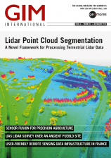
This issue of GIM International has a special focus on Lidar technology, with applications ranging from agriculture to archaeology. The front cover image shows very detailed 3D Lidar data that accur...
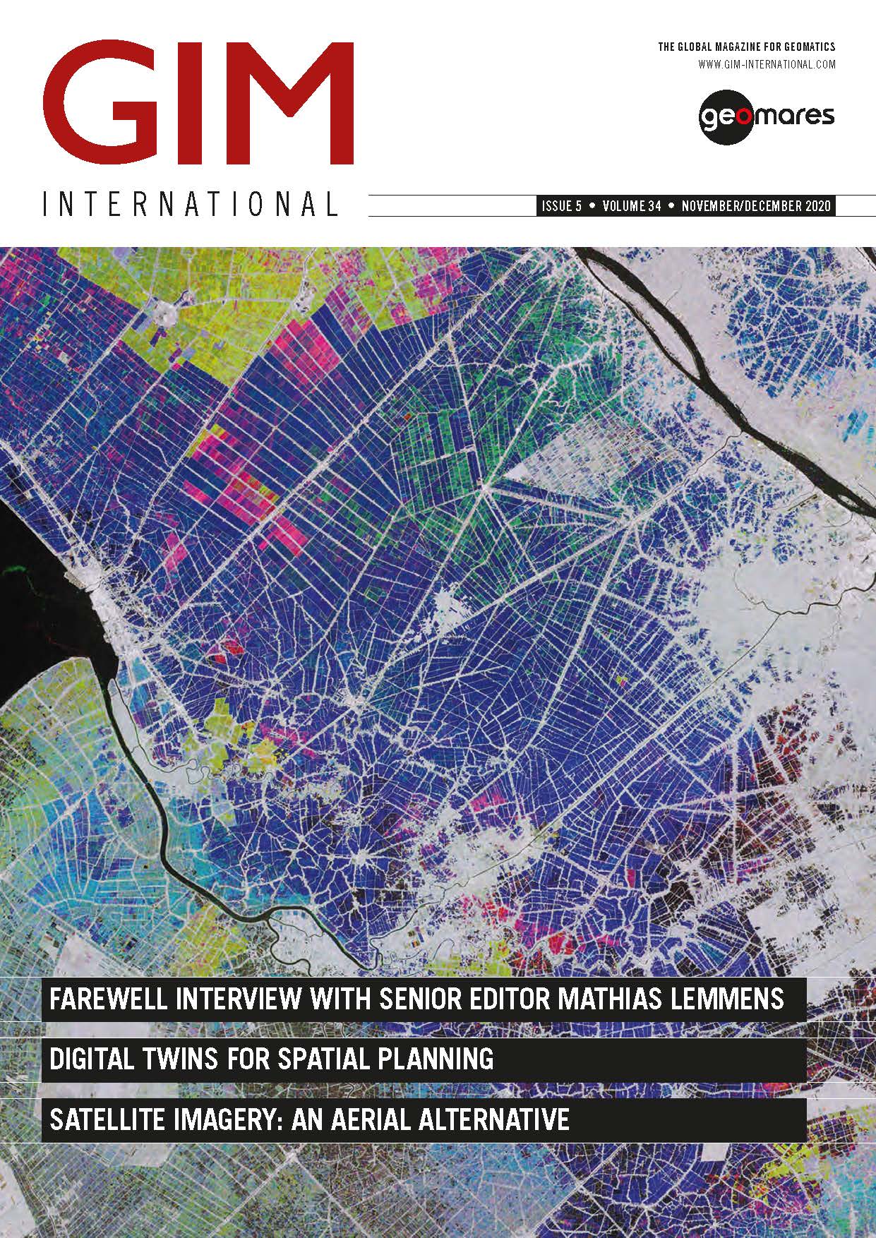
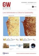
This issue of GIM International has a focus on land administration, reflected by an interview with Professor Christiaan Lemmen and an overview article on geomatics and land administration written by...
COVER STORY The cover picture shows the winning design concept for the Tintagel bridge built for English Heritage. This issue contains the following articles: A CHALLENGING CLIFF TOP SURVEY IN TINTAG...

The March-April issue of GIM International is dedicated to unmanned aerial systems (UAS) and their role in the mapping and surveying profession. There have been rapid advancements in drones over t...
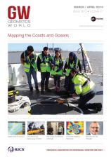
COVER STORY The image on the cover shows Jim Powell of the Port of London Hydrographic Service instructing UCL students in the deployment of the side scan sonar set-up aboard one of the PLA survey ves...
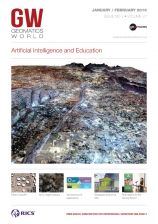
Ranging from an interview with FIG president Rudolf Staiger to a inspiring story on the 3D city modelling project of the Turkish metropolis Istanbul, the first 2019 issue of GIM International encompas...
COVER STORY The image on the cover shows a high-resolution 3D model of Jaipur, India, produced using VividX2 satellite video © Earth-i 2018. This issue contains the following articles: WHAT IS AI AN...
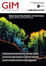
This issue marks the end of the geospatial year at GIM International. We are concluding 2018 with a great variety of topics, ranging from the processing of photogrammetry and the classifi cation of p...
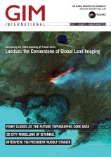
COVER STORY The cover image uses Landsat images to show the expansion of the Colombo in Sri Lanka between 1972 and 2017. The images come from UN Habitat. This issue contains the following articles: H...
This site uses cookies. By continuing to use this website, you agree to our Cookies Policy. Agree