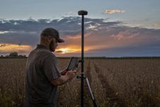
G4j1UhGOQI76kpgDCGcf_Airworks 2022_Agriculture Industry-Photo 1

The EUSpace4Ukraine platform focuses on satellite data-based applications that help to deliver medical and food supplies, support evacuation efforts and also help refugees find their way in other EU countries....
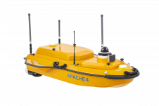
CHC Navigation is expanding its reach throughout Europe and the world, with more dealers and customer support and advanced training and service points. The Shanghai-based company has been a player in...
To inform the industry about remote methane monitoring services based on high-resolution satellite imagery, SI Imaging Services and GHGSat will operate a joint booth at the World Gas Congress 2022...

Satellogic has entered into an agreement with UP42 enabling direct access to Satellogic’s satellite tasking high-resolution multispectral and wide-area hyperspectral imagery via the UP42 API-based geospatial developer platform and marketplace....
When it comes to monitoring the condition of roads, UAV technology can overcome many of the downsides associated with traditional methods, which can be time-consuming, labour-intensive and sometimes subjective. This...
Juniper Systems has introduced the all-new Geode GNS3 GNSS receiver. It enables users to easily collect real-time GNSS data with sub-metre, sub-foot and decimetre accuracy options – without the huge price tag...

Innovations in Lidar technology continue to change the way we see our world – literally. There’s no denying that the Lidar sector is growing at an exponential rate. Research by...

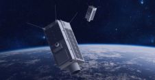
LatConnect 60 and Gilmour Space Technologies will work together to build and launch the first microsatellite in a planned high-resolution hyperspectral imaging constellation. The smart satellites will be placed in...

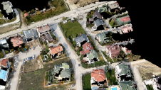
The German Federal Agency for Cartography and Geodesy (BKG) is creating a digital twin of the whole of Germany that can be used to simulate various future scenarios in order...
This site uses cookies. By continuing to use this website, you agree to our Cookies Policy. Agree