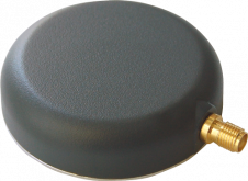
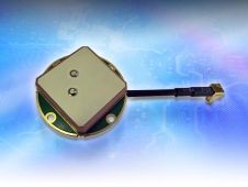
Found 118 results
Sort by

UAS Captures Near-infra-red Mapping Data

DroneMetrex has announced that near-infra-red (NIR) mapping data has been captured with the TopoDrone-100. The radiometric quality has been achieved because DroneMetrex specialists performed the necessary camera modifications and have...

Read more

GPS and the 2015 Gorkha earthquake

Nepal is prone to earthquakes and throughout the centuries the country’s capital city, Kathmandu, has been regularly struck by earthquakes which appear to have similar epicentres and behaviour. The portion...

Read more

Multi-sensor Cave Detection in Bulgaria

Caves are important in a wide variety of fields, ranging from construction engineering to mineral exploration and archaeology. Despite the scientific importance of caves, geologists believe that only a relatively...

Read more