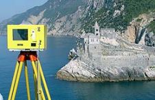
Addressing Change in Coastal Environments with Lidar and Sonar
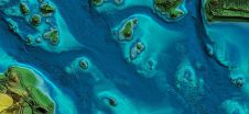
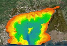
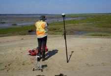
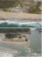
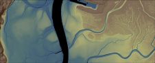
Key stakeholders including the NOAA Office for Coastal Management and NV5 Geospatial created a topobathymetric elevation model of Morro Bay in California as input for environmental conservation. Morro Bay, a shallow...