The good, the bad and the ugly of the surveying profession
In the early days of surveying, surveyors were pioneers in charting the unknown. Today, with the Earth having been completely mapped to some degree, surveying has become a much more...
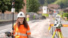
In the early days of surveying, surveyors were pioneers in charting the unknown. Today, with the Earth having been completely mapped to some degree, surveying has become a much more...
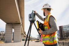
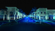
Trimble has recently announced the Trimble X9 3D laser scanning system, a versatile reality capture solution for surveying, construction and engineering professionals. The X9 is built on Trimble's proven laser...
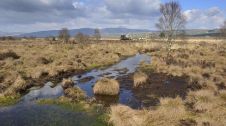
An annual airborne laser scan of the diverse landscapes in Scotland is being considered to monitor the health of the nation's forests, peatlands and natural ecosystems, according to a report...
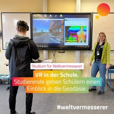
The German Association for Geodesy (DVW) has launched a campaign to build young people’s awareness of the exciting career opportunities in the geospatial industry. The world of geoinformation is diverse,...
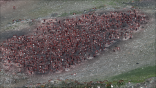
Remote sensing surveys in Antarctica based on unmanned aerial vehicles (UAVs or ‘drones’) have become a very important approach for a wide range of studies. Mapping free-from-ice-and-snow terrain and monitoring...
SkyWatch has been selected by the Canadian Space Agency (CSA) to complete Phase 2 of the Artificial Intelligence and Big Data Analytics for Advanced Autonomous Space Systems challenge. This award...
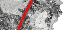
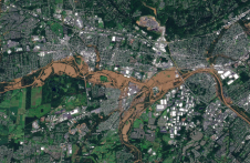
Thanks to rapid improvements in aerial laser scanning systems, they offer great potential in road surveying compared with traditional photogrammetry-based methods. Using the high-density 3D point clouds resulting from aerial...
How can laser scanning and surveying firms stand out from the growing competition? This article provides tips for service providers striving to keep up with the latest technological trends while...
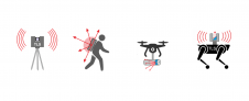
Over the centuries, all four industrial revolutions have influenced surveying instruments and the profession as a whole. This article explores which different skills and capabilities surveyors are required to develop...
The use of AI in monitoring and modelling climate conditions is bringing about a revolution, especially in the field of geospatial data collection and mapping. With the help of AI-powered...
This site uses cookies. By continuing to use this website, you agree to our Cookies Policy. Agree