Digital twins for a sustainable world
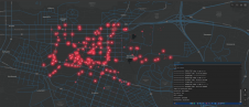
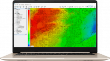
How can city digital twins support the attainment of SDG11? They can be used to manage infrastructures (e.g. roads, transportation and public services, smarter energy grids and water networks), support...
How can city digital twins support the attainment of SDG11? They can be used to manage infrastructures (e.g. roads, transportation and public services, smarter energy grids and water networks), support...

The organizers of Geo Week have released a preview of two keynote sessions for 2024: 'The Bright Future Ahead: Navigating AEC, 3D, and Geospatial Innovation and Change', and 'Geospatial for...

At OxTS, in line with our brand promise of being inertial navigation experts, our commitment to our customers is that we will keep innovating until we can help them truly ‘navigate anywhere’ – with or without GNSS. We are advancing our products in that direction by first enhancing urban navigation data quality based on sensor fusion. Here, we explain how. At OxTS, in line with our brand promise of being inertial navigation experts, our commitment to our customers is that we will keep innovating until we can help them truly...

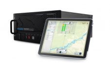
Phoenix LiDAR Systems, an industry leader in commercial UAV Lidar systems, has announced its three newest Lidar solutions. The Pioneer P10, Phoenix SLAM and AIR NavBox are all designed to...
Leica Geosystems, a part of Hexagon, has launched the brand-new Leica CountryMapper, its most efficient solution yet for large-area imaging and Lidar mapping. The company unveiled this latest expansion to...
Topodrone has announced the integration of its Lidar Prime scanner with the aOrion Heli-E UAV enabled by Velodyne’s Alpha Prime sensor. This is aimed at bridging the gap in UAV-based...
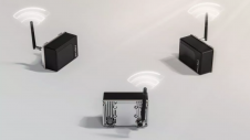
As part of the LidarPredict project, six Blickfeld Lidar sensors were installed above the main Utopia stage of the popular Rock am Ring music festival, held from 2-4 June, to...
SimActive has announced that users of LiDARUSA's multi-sensor systems can now take advantage of SimActive's Lidar point cloud colourization capabilities. Using SimActive's Correlator3D software, users can integrate Lidar data and...
Teledyne Geospatial has released the Galaxy Onboard, a workflow-focused solution that enables airborne surveyors to deliver quality-controlled processed data in real time. With Galaxy Onboard, Teledyne Geospatial has lowered the...
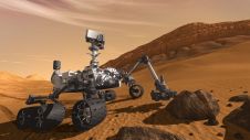
A new Lidar technique could help robotic vehicles avoid hazards when landing during future space missions to Mars or the Moon. The method uses flash Lidar to record full 3D...
This site uses cookies. By continuing to use this website, you agree to our Cookies Policy. Agree