TatukGIS Releases Aerial Imagery Corrector 2.0
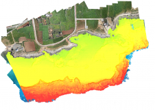
TatukGIS (Poland) has announced the release of the version 2.0 upgrade of the Aerial Imagery Correct product for rectifying, georeferencing, mosaicing aerial photos, satellite images, and scanned maps to geographical...