Airborne Imaging Supports New Smart Grid
Traditional methods for managing the electrical grid struggle to meet the needs of the power industry and its customers. One promising solution, the smart grid, offers economic and...
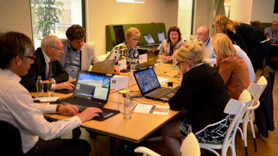
During the GIM International Summit, participants approached location and time-related issues to explore the needs and demands, both within the geospatial sector and beyond. Other workshops:
Managing water and energy demands location tools and actors that are able to conceptualise, model and integrate information flows. It is necessary to break down the institutional barriers and to support monitoring and impact evaluation. We should help our customers to match visions with reality.


Traditional methods for managing the electrical grid struggle to meet the needs of the power industry and its customers. One promising solution, the smart grid, offers economic and...
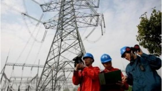
Traditional methods for managing the electrical grid struggle to meet the needs of the power industry and its customers. One promising solution, the smart grid, offers economic and...
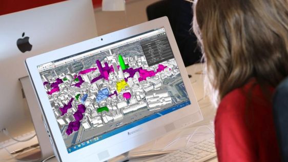
CyberCity 3D, a smart 3D building expert, has developed a 3D Smart Cities mapping platform to help municipal authorities and planners visualise their towns and citie...
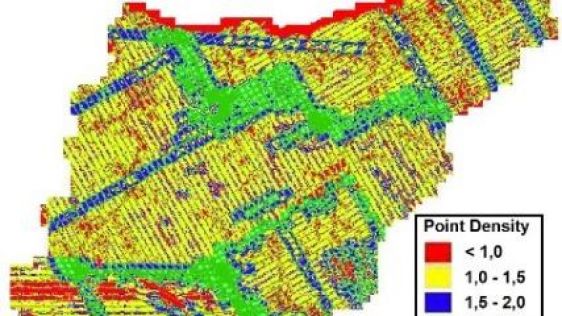
Basic tools for processing Lidar point clouds, which can be extended depending on needs, provide a flexible platform for service providers and users alike. The companies Dielmo 3D,...
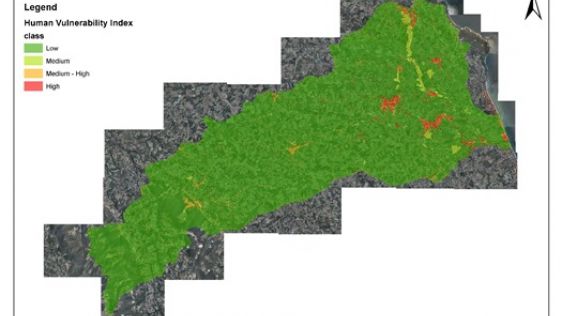
Floods have a high impact in densely populated areas, especially when strategic infrastructure is affected. There are various human and territorial factors that influence an area&r...

Ordnance Survey (OS) is to create a smart city standards-based technologies business framework for the European Union’s ESPRESSO project. ESPRESSO is being led by the Open Ge...
Today’s advanced computer technology enables several players to play the same game at the same time. Can the visualisation technology used in 3D multiplayer games designed fo...

Contractors have to deliver what their clients request, and it is common for those requests to be specified in written agreements. If the end product is a point cloud of planar coo...
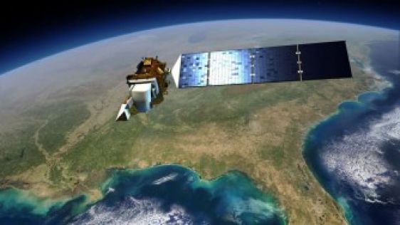
When it comes to helping communities across the United States stay up to date on their flood risk, the Landsat satellite can take a bow. Landsat images help to track urban change,...
Follow GIM International on Facebook, LinkedIn, Twitter or sign up for the newsletter! Don't miss the latest developments: join GIM International!
 |  |  |  |
| 29.769 SUBSCRIBERS | 22.513 MEMBERS | 9.484 LIKES | 8.739 FOLLOWERS |
This site uses cookies. By continuing to use this website, you agree to our Cookies Policy. Agree