5 reasons why it’s time to invest in mobile mapping
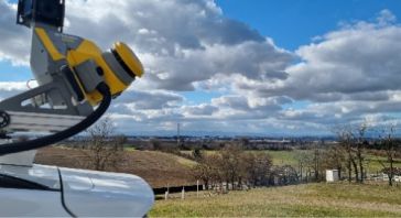
In this article, we’ll talk about why it’s time to invest in a mobile mapper, and how these cutting-edge tools can transform your day-to-day work. Whether you’re an independent contractor, part...
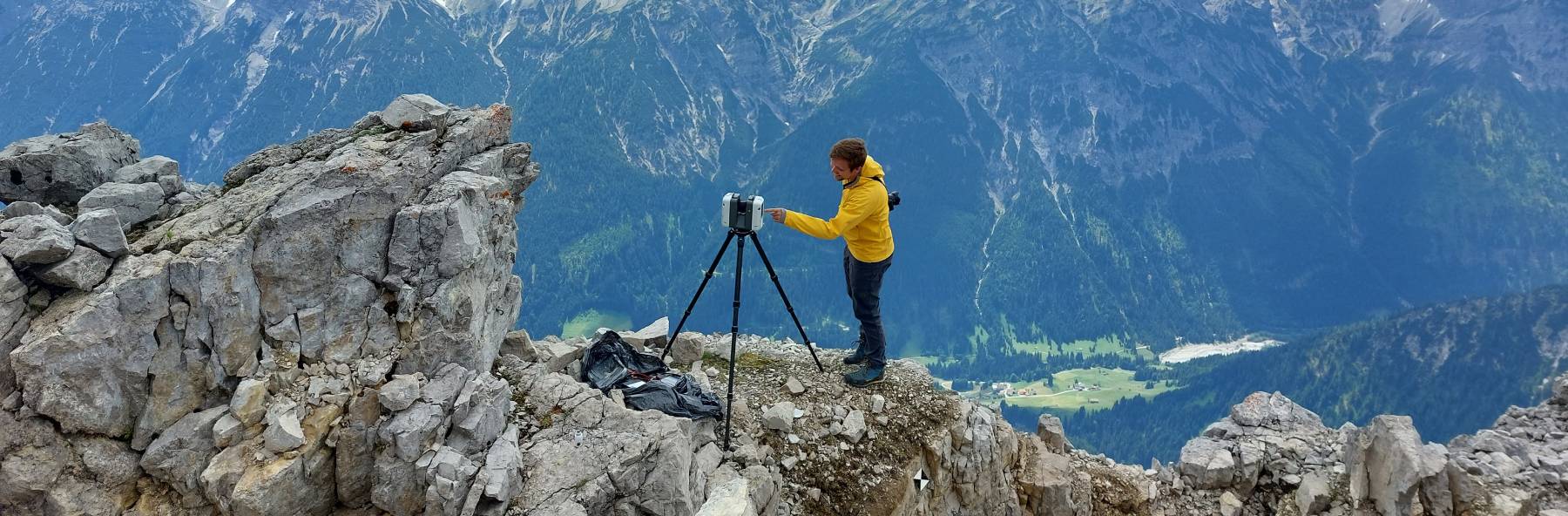
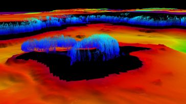
GIM International's "Case Studies" section delivers comprehensive examinations of actual geospatial projects. These studies shed light on the hands-on use of technologies and methodologies in the geospatial realm, empowering professionals to address obstacles efficiently and catalyze innovation. (Image courtesy: Christoph Holst/Technical University of Munich)
 Sponsored article
In this article, we’ll talk about why it’s time to invest in a mobile mapper, and how these cutting-edge tools can transform your day-to-day work. Whether you’re an independent contractor, part...

In July 2022, an environmental disaster hit the Oder River, a vital waterway for both Poland and Germany. The mass die-off of fish triggered an extensive investigation into the possible causes, but co...

At OxTS, in line with our brand promise of being inertial navigation experts, our commitment to our customers is that we will keep innovating until we can help them truly ‘navigate anywhere’ – w...
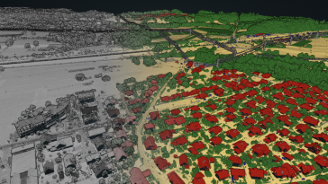
The creation of an accurately classified point cloud usually requires tremendous input from manual annotation. At Flai, we believe that all those repetitive procedures can be greatly reduced by using ...
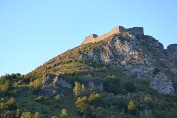
The city of Carcassonne in the south of France hopes to obtain UNESCO World Heritage certification for its sentinel mountain castles, better known as Les Châteaux Cathares. Built in the 13th century,...
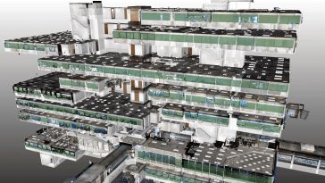
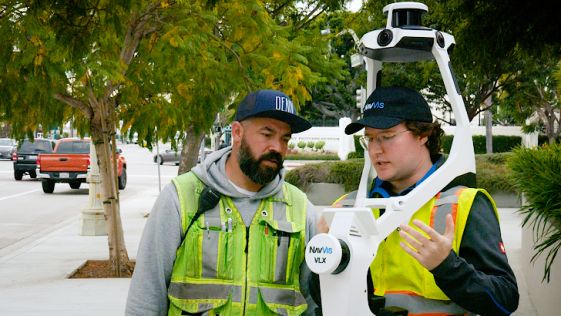
IBKS is a digital solutions and management consulting firm offering built-environment services in the healthcare space. The firm recently tested its innovative NavVis and PointFuse workflow in a huge,...

Background In December 2019, the municipal government of Kalmar, Sweden, embarked on an EU-funded StreamSam initiative to digitize its community development process. The StreamSam project is creating ...
 Digital Twin
A national mapping agency in Europe needed to create a 3D digital twin of its entire country from a collection of geospatial data in varying scales and formats. A primary goal of the project was to bu...
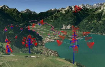
Mandatory asset inspection is crucial for utilities. Employees are often challenged with hard-to-access areas, heights or risky terrains. The traditional examination methods such as on-foot patrols, h...
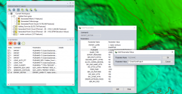
Established as an advanced and comprehensive geospatial software, Global Mapper Pro excels in terrain analysis, point cloud editing, drone-collected image processing and much more. Recent versions of ...
Hydrographers are increasingly aware of the added value that a Lidar (Light Detection and Ranging) scanner can bring to bathymetry survey operations. The Teledyne Optech Polaris Laser Scanner, for exa...
Complementary and Consistent: Duo of Trimble MX50 and X7 Saves French Company Time Capturing Precise Data By capturing data with a combination of two Trimble solutions, Neocapture, a young French to...
This site uses cookies. By continuing to use this website, you agree to our Cookies Policy. Agree