Celebrating 25 Years of Photogrammetry Software Innovation
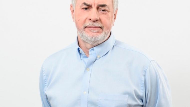
5 Questions to… Victor Adrov, Racurs
Racurs has a 25-year track record of success in the Russian and worldwide geomatics markets. The company, which was founded in 1993, has become a household name among photogrammetry specialists, particularly thanks to its innovative digital mapping software for processing aerial, spaceborne and terrestrial imagery: Photomod. Here Dr Victor Adrov, managing director of Racurs, answers five questions on the history, current status and future of the company.
Racurs has been celebrating its 25th anniversary this year – congratulations! So how did photogrammetry software look in the early days of your company?
The first versions of Photomod allowed the processing of only one stereo pair of central projection images, but already had automatic capabilities for tie point measurement and digital elevation modelling (DEM). The system included a stereovectorisation module, realised with the use of anaglyph glasses. The output of photogrammetric processing included DEMs and contour lines, orthophotomaps and 3D vectors. The system had a modular structure and worked on IBM-compatible personal computers in OS Windows 3. Practically speaking, at that time it was one of the world’s first photogrammetric systems running on a personal computer. It was used effectively both for processing aerial surveys and in terrestrial and close-range photogrammetry projects.
The first Photomod licence was sold in 1995, and it is still your flagship product to this day. How has it evolved over the years?
Obviously, Photomod has changed a lot over the years. The development of the system was determined by our goal – to create effective high-end photogrammetric technology that allows processing of any remote sensing data and obtaining the output products needed by the customer. As Photomod evolved, it began to process optical data from space and airborne push broom scanners, and a special package appeared for processing data obtained by SAR systems. Of course, a module for automatic triangulation and block adjustment appeared. One of the main competitive criteria when choosing a photogrammetric system is productivity. Therefore, during the development of Photomod, much attention was paid to the development of algorithms for automating basic photogrammetric operations, distributed computing and improving the ergonomics of operator-machine interfaces. Whereas photogrammetric projects used to involve hundreds of images just a decade ago, nowadays big production companies use thousands of satellite images and hundreds of thousands of digital aerial images. When developing new versions of our software, we take into account huge amounts of stored and processed information, focusing on the modern capabilities of computing facilities, cloud and cluster solutions. I think that Photomod is currently one of the most productive digital photogrammetric workstations (DPWs) in the world.
Your R&D department is a very important pillar of your company. How would you describe your research activities?
A distinctive feature of Photomod is that the algorithms and all programming code are developed by our own team. We don’t use other companies’ software modules for any technological operations. Therefore, it is obvious that we have to focus more on research work. That research works allow us both to develop Photomod and to participate in R&D projects of our partners and users, such as ROSCOSMOS and defence industry initiatives. The main aims of our research are related to improving the efficiency of photogrammetric solutions and obtaining new types of output products needed by customers.
How has the rise of UAVs for mapping and surveying influenced your business?
The development of unmanned aerial vehicles (UAVs or ‘drones’) and the growing interest in their use in our industry have greatly influenced both the geomatics industry itself and the developers of photogrammetric technologies. First of all, active use of UAVs in aerial surveying led to the appearance of many small companies that required photogrammetric capabilities for data processing. But those companies didn’t have the resources to buy expensive high-level software used by professional photogrammetry specialists. That created a market demand for more affordable photogrammetric systems, designed to obtain a limited number of output products in a maximum automatic mode when using non-professional, non-metric cameras. UAV companies did not require advanced stereovectorisation tools or satellite data processing capabilities. Therefore, suppliers of complex professional high-end photogrammetric systems, including us, had to change their working methods to limit and simplify the operations interface, to eliminate redundancy of source information and output production, and to create more affordable specialised automatic solutions for processing UAV data only. In order to compete with producers of specialised software for UAV data processing, we have released and are successfully developing the UAS version of Photomod that is now used by many companies in Russia and around the world.
When it comes to photogrammetry, what are your expectations for the next five years?
I think the following factors will have the biggest influence on the development of photogrammetry: new data sources; new sensors, both aerial (including UAV) and spaceborne; the development of computer technologies and processing algorithms (including AI algorithms); the transition from 2D cartography to 3D representation of spatial data; and the development of internet and cloud solutions. We take all these factors into account when developing our technologies. I think that we can already speak of ‘smart photogrammetry’. The ideal photogrammetry system of the future will have a huge set of various types of images as input, automatic data processing in order to obtain a metric 3D model of the territory, and automatic classification for subsequent use in different information systems. All producers of photogrammetric systems, including our company, are working on this.

Value staying current with geomatics?
Stay on the map with our expertly curated newsletters.
We provide educational insights, industry updates, and inspiring stories to help you learn, grow, and reach your full potential in your field. Don't miss out - subscribe today and ensure you're always informed, educated, and inspired.
Choose your newsletter(s)


