5 Questions to… Thomas Stuiver and Peter Tapken, Geo-matching
Surveying and mapping projects require tailor-made approaches. Every application demands its own specific solutions. All the necessary geospatial solutions are available in a single place: Geo-matching.com. We asked Thomas Stuiver and Peter Tapken, the driving forces behind this geospatial product platform, to explain the role of Geo-matching.
How would you describe Geo-matching?
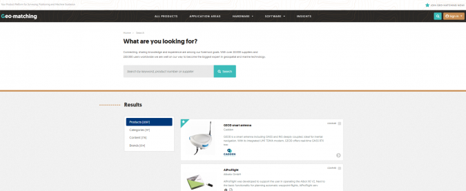
Geo-matching is the world’s largest product platform for surveying, positioning and machine guidance, listing more than 2,000 products from 500 manufacturers and attracting more than 250,000 users in 2017. With our product platform, we provide an overview of all the products and solutions in the geospatial market. On Geo-matching, users can make detailed product comparisons and view the latest videos, case studies and helpful articles.
What is the role of your platform in the geospatial industry?
Our mission is to inspire our users about geospatial technology and connect them with product manufacturers worldwide. Staying up to date on the latest geospatial product developments is difficult and time-consuming. Every day, new products and applications emerge that can help geospatial professionals do their jobs even better and faster. By centralising all the product information on one platform, we have become the linking pin between users and manufacturers worldwide.
If you zoom in on the behaviour of your website visitors, what are the main trends?
One important trend is the strong increase in website traffic and enquiries from fast-growing regions such as the Asia-Pacific region, Eastern Europe, various African regions and South America. Furthermore, we have seen that applications for geospatial products have become more diverse. Enquiries have come from infrastructure companies (e.g. road survey, corridor mapping, etc.), maritime companies (monitoring of harbour walls), forensics (crime mapping and traffic accident investigation), mining (open-pit survey, etc.) and even some surprising sources such as New York City’s Metropolitan Opera House (indoor mapping for maintenance and monitoring purposes).

Geo-matching.com has already developed into the largest product platform for mapping and surveying professionals. How do you expect it to evolve in the coming years?
Over 500 manufacturers are now involved in the Geo-matching platform, but products are constantly evolving and new types of products are being introduced. For the UAV market, for example, things are moving so fast that we need to update our specification list every six months to keep the information relevant. We are also constantly adding new product categories. We are currently looking at adding BIM and virtual reality, for example, because these technologies are becoming increasingly important for the geospatial sector. Also, with so many new users entering the geospatial market, inspiring and educating professionals will play a crucial role. This means that we need to better explain how the technology works and how it can be used. We will continue to be guided by our mission: to inspire our users about geospatial technology and connect them with product manufacturers worldwide. Our goal is not only to provide product information but also to help geospatial professionals when searching for products. So far we have received lots of positive feedback and are very eager to further expand the Geo-matching platform!

Value staying current with geomatics?
Stay on the map with our expertly curated newsletters.
We provide educational insights, industry updates, and inspiring stories to help you learn, grow, and reach your full potential in your field. Don't miss out - subscribe today and ensure you're always informed, educated, and inspired.
Choose your newsletter(s)


