Artificial Intelligence for Smart Cities and Sustainable Urban Systems
Urbanisation is undoubtedly one of the most fundamental trends of the past two centuries. Between 1950 and 2014, the share of the global population living in urban areas increased from 30% to 54%, and by 2050 it is projected to expand by an additional 2.5 billion urban dwellers. Urbanisation yields many benefits for society, including enhanced opportunities for education, improved job prospects, better access to healthcare and cleaner water. Yet it is also associated with immense societal and environmental challenges. Inefficient planning and management practices lead to unsustainable settlements that do not enable people to advance personally, socially or economically. This article explores how smart and innovative technologies, including artificial intelligence, are revolutionising the way cities address the challenges associated with urban growth.
Such technologies help cities to utilise existing assets more effectively, allocate resources more efficiently and improve how data and information are managed and shared across systems. According to the International Data Corporation (IDC), worldwide spending on smart city technologies is forecast to reach US$80 billion in 2018, of which US$22 billion will be spent in the US alone. Investment in smart city technologies can potentially improve the sustainability of cities. The McKinsey Global Institute (MGI) suggests that such technologies could cut emissions by 10-15%, reduce water consumption by 20-30% and decrease the average commute time by 15-20%. Whether these are mobile apps that provide real-time information on public transportation delays, intelligent GIS systems that propose the shortest route to a destination or systems that track the sources of air pollution or determine electricity pricing dynamically according to demand peaks, smart city technologies have the potential to not only foster economic growth, but also to improve people’s quality of life.
Increasingly, satellite data is becoming a fundamental component of smart cities and an essential tool for city management and governance. From understanding connectivity between cities to measuring economic growth, detecting power outages or identifying where resources should be allocated after disasters, the increasing availability of satellite data is transforming how cities are managed and helping to improve their functionality.
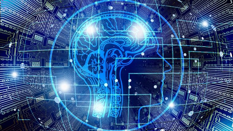
From the point of view of urban governance, machine learning and artificial intelligence (AI) provide near-real-time information on how cities change in practice, e.g. through the conversion of green spaces into built-up structures. By ‘teaching’ computers what to look for in satellite images, rapidly expanding sources of satellite data are leveraged in combination with machine learning algorithms to quickly reveal how actual city development aligns with planning and zoning or which communities are most prone to flooding. Machine learning techniques help to automatically detect and map different types of land cover and land use across space and time, and generate important insights, analytics and visualisations.
In the past, expensive satellite imagery and limited computational power only allowed analysis of small geographical areas. This model is being replaced thanks to the wealth of publicly available and free satellite data about every location on Earth, captured every few days and in a spatial resolution of a few metres. This data is brought to the cloud and, using machine learning algorithms, analysed on various cloud-based platforms without the need to download and upload large volumes of data. This new model provides cities and governments with accessible solutions for satellite data analysis, decision-making and data sharing.
Today, AI is almost a buzzword, a kind of magic formula, based on some ‘intelligent agents’ and sophisticated algorithms that make decisions and take action for humans. But AI will never replace human validation or effective governance on the ground. ‘Smart’ technologies that collect data on the ground or from space must be leveraged to monitor and manage urban systems and to provide guidance and recommendations for better decision-making, which will in turn make cities more sustainable.

Value staying current with geomatics?
Stay on the map with our expertly curated newsletters.
We provide educational insights, industry updates, and inspiring stories to help you learn, grow, and reach your full potential in your field. Don't miss out - subscribe today and ensure you're always informed, educated, and inspired.
Choose your newsletter(s)


