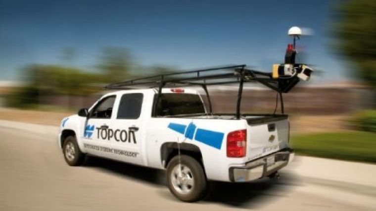
Topcon IP-S2 Integrated Positioning System
Topcon has released its latest positioning solution: IP-S2. This system is a fully integrated positioning solution which provides high rate, high accuracy, real-time or post processed position and orientation information for land based vehicles. IP-S2 incorporates a top of the line, survey grade GNSS receiver with an inertial measurement unit and vehicle odometers to provide more accurate and robust positioning information than GNSS alone.
By adding external measuring sensors for video and laser scanning we manage to achieve remote object measurement at high speed. This combined multi sensor system is used for rapid measurement where a high volume of data needs to be acquired: GIS city mapping, Railway surveying and Internet city viewing. An Inertial System is a navigation aid that uses a computer and motion sensors to continuously track the position, orientation, and velocity (direction and speed of movement) of a vehicle without the need for external references.
Key Benefits:
- Fully integrated hardware system
- 6 Axis IMU@ 100Hz
- Supports up to 6 Laser scanners
- High accuracy mobile mapping system
Main Applications:
- GIS mobile mapping
- Geo-referenced Asset Management
- Corridor mapping
- City modelling
- Automated vehicle control
- Infrastructure Management
Caption: IP-S2 Integrated Positioning System

Value staying current with geomatics?
Stay on the map with our expertly curated newsletters.
We provide educational insights, industry updates, and inspiring stories to help you learn, grow, and reach your full potential in your field. Don't miss out - subscribe today and ensure you're always informed, educated, and inspired.
Choose your newsletter(s)


