Using Lidar Software for Energy Infrastructure Mapping
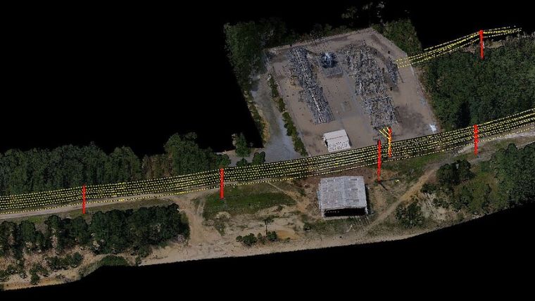
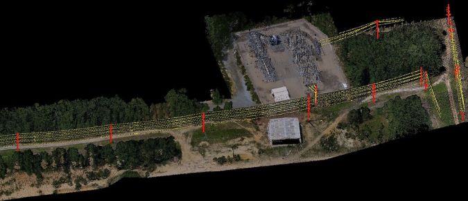
SimActive has announced the use of its Correlator3D product by Survtech Solutions for use in energy infrastructure mapping and monitoring. Using aerial imagery to colourize Lidar point clouds, a visual element is added to enhance the processing and development of mapping products.
Spread across the US, SurvTech’s projects often cover long corridors where power lines either already exist or are in development. Data acquisition is performed with both manned and unmanned aircraft, depending on the total length of the project and the resolution requested by the customer. Lidar and imagery are imported into Correlator3D, which is used for orthorectification and colourization.
Colourized Point Cloud Data
“Colourized point cloud data greatly enhances our processing team’s ability to validate classification results and simplifies the visualization of point cloud data for our stakeholders,” said Carlos Prieto, vice president of programme management at Survtech Solutions. “Correlator3D is a great tool for merging Lidar and imagery.”

Value staying current with geomatics?
Stay on the map with our expertly curated newsletters.
We provide educational insights, industry updates, and inspiring stories to help you learn, grow, and reach your full potential in your field. Don't miss out - subscribe today and ensure you're always informed, educated, and inspired.
Choose your newsletter(s)


