Elevating knowledge: read our in-depth features

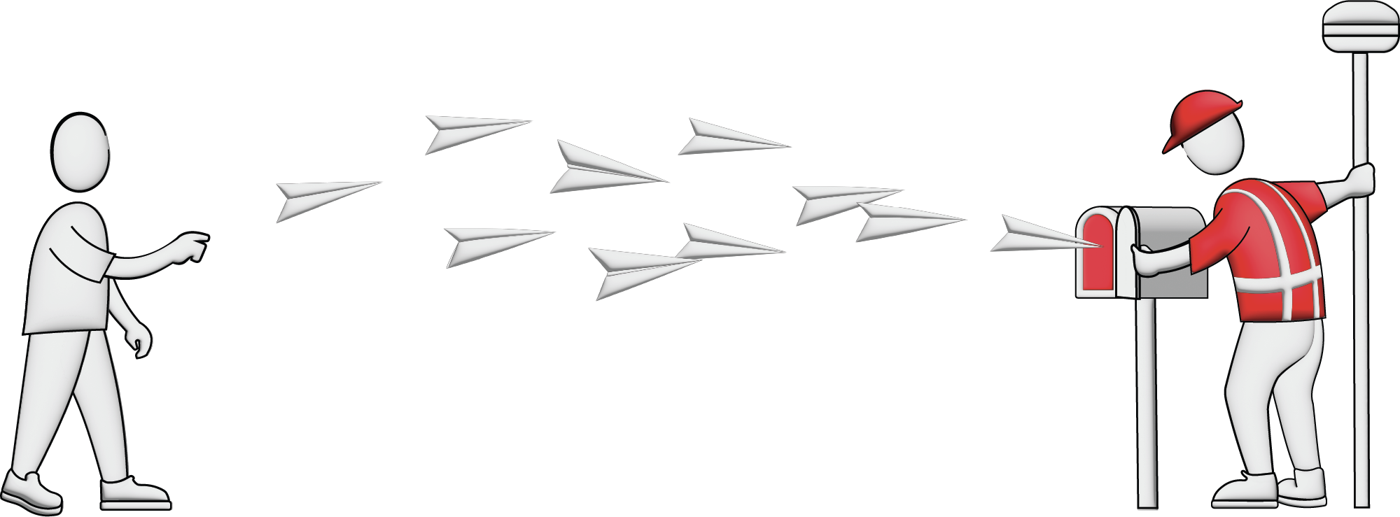
The Earth observation industry seems to be on a slow burn – but why? Brace yourself for a ‘rollercoaster ride’ through Earth observation as this article unravels the mysteries behind the muted g...

The EAASI Summit 2023 in Lisbon in November was a resounding success. While the aerial surveying association’s fifth annual gathering highlighted the growing unity within the industry, there was als...
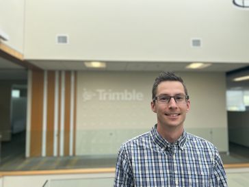
In this Q&A, we asked Trimble’s Jeff Turgeon to share his insights into the current state of the sector and his expectations for the future. Looking at terrestrial laser scanners, what do you consid...
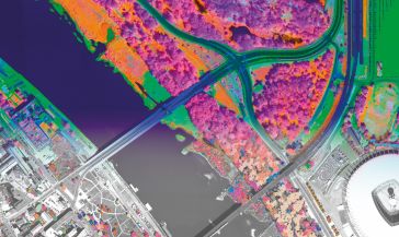
A pioneering project in Poland has proved that aerial mapping, combined with Lidar technology, can be an invaluable tool for accurately mapping the green urban environment. In fact, the new, cost-effe...

In this interview, John Ristevski, chairman and CEO of CyArk, takes us on the organization’s 20-year journey of digitally preserving cultural heritage sites. Today, the company uses advanced technol...
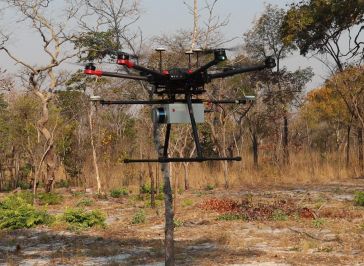
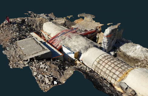
British mine-clearance charity The HALO Trust partnered with Routescene to undertake a UAV Lidar project in Cuito Cuanavale, in the Angolan province of Cuando Cubango. This case study demonstrates the...

SI Imaging Services (SIIS) is gearing up for the launch of an innovative 100%-commercial optical satellite with high-end resolution capabilities. This strategic initiative, in collaboration with its p...

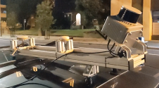
Inertial Labs and Sony have joined forces to develop an advanced Lidar system tailored for Sony's Airpeak drone. This collaboration aims to enhance drone capabilities in applications such as surveying...

SimActive has reported that the use of its Correlator3D product along with ground control points can enhance, extend and validate photogrammetry projects. GCPs are critical in photogrammetry projects,...

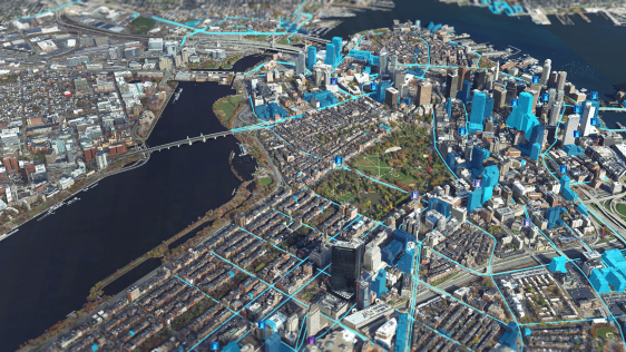
NavVis recently unveiled a substantial enhancement in global 3D spatial technology access and performance. By launching new cloud regions in the Americas and Asia-Pacific (APAC), the company aims to e...
The University of Nacional Autónoma de México (UNAM) has recently procured a RIEGL VQ-1560 II-S airborne system through its Institute of Geography. It has been added to the R&D project workflows in ...
Klau Geomatics has introduced the Brumby RTK Lidar system, an innovative mobile mapping solution equipped with powerful Edge Compute capabilities, enabling the generation of highly precise georeferenc...
Our weekly newsletter is an easy way to stay updated with our latest articles, news, and magazines. It's the easiest way to stay current with the industry.
Subscribe to our newsletter(s)Remote sensing is a fascinating field that revolves around the acquisition of Earth-related information without direct physical contact. It typically yields either point cloud data or imagery, both of which are subsequently processed within the realm of geographical information systems, playing a pivotal role in the field of cartography.
One of the defining characteristics of remote sensing lies in the differentiation based on the platform and sensor employed. The platforms used for remote sensing can span a wide spectrum, encompassing everything from orbiting satellites to high-flying aircraft, nimble drones, ground-based vehicles like cars, and even seafaring ships. Meanwhile, from a sensor perspective, remote sensing is an expansive domain that includes techniques such as photogrammetry, lidar, and echosounding, each offering unique insights into our planet.
It's worth noting that the transformation of remotely sensed data into comprehensible and valuable products often necessitates a process known as ground truthing, which helps to validate and refine the collected information. This multifaceted field of remote sensing continues to evolve, unlocking new ways to observe and understand our world from a distance.
This site uses cookies. By continuing to use this website, you agree to our Cookies Policy. Agree