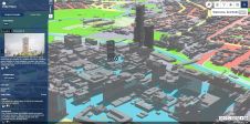
Web GIS Improves Lidar Collection Response Time
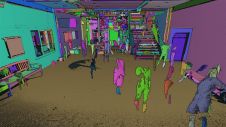
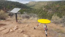
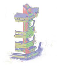
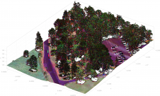
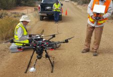
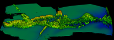
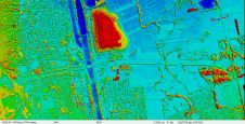
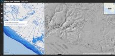
The remarkable capabilities of airborne Lidar continue to improve, with scanners now able to emit more than a million pulses every second. Although it has never been easier to acquire high-quality las...