Found 145 results
Sort by

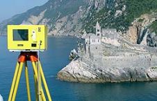
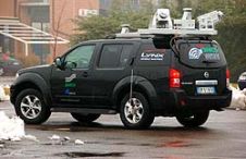
Choosing the Best Digital Elevation Model

The process of achieving environmental stewardship is bound to available Digital Elevation Model (DEM) accuracy. A good DEM helps directly locate and monitor streams, sensible slopes and watersheds. Indirectly, it...

Read more

Intergeo Preview 2009

Intergeo, the world’s largest congress and trade-fair for geodesy, geoinformation and land management, will this year be held in Karlsruhe, Germany, from 22nd to 24th September. About 16,000 visitors are...

Read more

Data Integration for Coastal Surveying

When surveying the coastline, the integration of bathymetric (below sea level) and laser scanning (above sea level) data causes problems due to the different imaging properties. However, by ensuring that...

Read more

Trimble Acquires RolleiMetric Assets

Trimble (CA, USA) has announced that it has entered into a definitive agreement to acquire the assets of RolleiMetric from Rollei GmbH of Braunschweig, Germany in an all-cash transaction. RolleiMetric...

Read more

Mapping with Mobile Lidar

The use of Mobile Lidar systems enters the scene when large areas have to be surveyed at accuracy and resolution exceeding those available through aerial photogrammetry, and when using static...

Read more

Intergeo Preview 2010

Intergeo, the world's largest congress and trade-fair for geodesy, geoinformation and land management, will this year be held in Cologne, Germany, from 5th to 7th October. About 15,000 visitors are...

Read more

POSPac Air 5.0

Applanix Corporation's recent release of POSPac Air 5.0 represents a huge leap in maximising data collection efficiencies when using Optech's industry-leading ALTMs (Airborne Terrain Laser Mapper), and ultimately increases return...

Read more