OxTS invests in improving customer support with new German office
OxTS has announced the opening of a new office in Germany. This move comes as part of the company's plan to expand its services and improve the quality of support...

OxTS has announced the opening of a new office in Germany. This move comes as part of the company's plan to expand its services and improve the quality of support...
Paris Austin is head of product – new technology at OxTS. During his more than ten years of service at OxTS, he has taken on multiple roles within the Support...

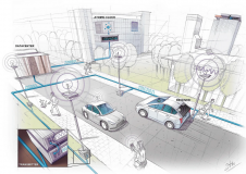
At OxTS, in line with our brand promise of being inertial navigation experts, our commitment to our customers is that we will keep innovating until we can help them truly ‘navigate anywhere’ – with or without GNSS. We are advancing our products in that direction by first enhancing urban navigation data quality based on sensor fusion. Here, we explain how. At OxTS, in line with our brand promise of being inertial navigation experts, our commitment to our customers is that we will keep innovating until we can help them truly...
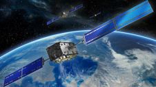
Galileo has begun the delivery of its High Accuracy Service (HAS), as officially announced by Thierry Breton, European Commissioner for the Internal Market. He described HAS as “feeding a prosperous market...
To accomplish their mission of educating a new generation of geomatics engineers, universities need to enhance their current programmes to expose students to emerging technologies. Only then will the industry...

Perhaps surprisingly, video game development is becoming an increasingly popular use case for navigation and Lidar data. However, it is often overlooked amidst the almost endless possible applications for 3D...
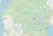
The National Emergency Supply Agency and the National Land Survey of Finland have joined forces to ensure the security of satellite positioning services in the country. A project has been launched in which...

Velodyne Lidar has announced a multi-year agreement to provide its Lidar sensors to GreenValley International for handheld, mobile and unmanned aerial vehicle (UAV) 3D mapping solutions, including in GPS-denied environments....
Scientists in the Netherlands have developed an alternative navigation system with 10cm accuracy. The system, which was implemented in a specially developed mobile network, offers a glimpse of a future...
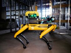
Trimble and Exyn Technologies, a pioneer in multi-platform robotic autonomy for complex, GPS-denied environments, have entered a strategic collaboration to explore the use of autonomous construction surveying technology. The solution...
This site uses cookies. By continuing to use this website, you agree to our Cookies Policy. Agree