Found 8013 results
Sort by

Lidar in surveying & mapping

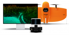
Lidar, short for Light Detection and Ranging surveying, represents a sophisticated measuring system leveraging the power of light. Widely recognized for its versatility, Lidar is extensively applied in diverse fields...

Read more

SimActive announces upgraded cloud capabilities

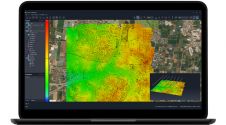
SimActive has unveiled the enhancement of Correlator3D for improved cloud environment productivity. With Correlator3D’s distributed processing capabilities, clients can seamlessly scale their processing in line with operational needs. The challenges...

Read more

Detlef Angermann

Detlef Angermann holds a doctorate in Geodesy and heads the Focus Area Reference Systems at the Deutsches Geodätisches Forschungsinstitut (DGFI-TUM) of the Technical University of Munich. His research focuses on...

Read more

Florian Seitz

Florian Seitz is a professor of Geodetic Geodynamics and heads the Deutsches Geodätisches Forschungsinstitut (DGFI-TUM) at the Technical University of Munich. His research interests are the combination of geodetic observation...

Read more