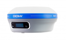
CHC Navigation Introduces i83 IMU-RTK GNSS Receiver
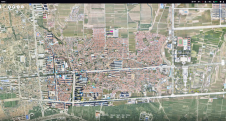
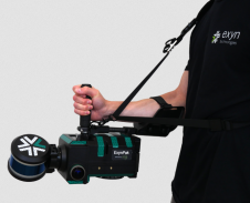
CHC Navigation (CHCNAV) has announced the availability of the i83 GNSS receiver, a new and innovative addition to its premium GNSS receiver series for surveying, mapping and construction professionals. The...