Found 522 results
Sort by

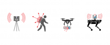
Remote sensing for land administration

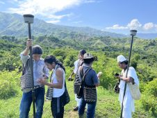
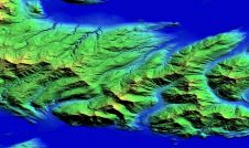
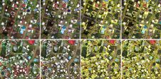
From drones and satellites to airborne-based sensors and Lidar, advances in remote sensing and geospatial information science are driving the development of innovative methods for data acquisition, processing and maintenance....

Read more

Vlado Cetl

Vlado Cetl has been a full professor in the Department of Geodesy and Geomatics of the University North in Varaždin, Croatia, since 2021. Before joining University North, he worked for...

Read more

The Surveyor 4.0

Over the centuries, all four industrial revolutions have influenced surveying instruments and the profession as a whole. This article explores which different skills and capabilities surveyors are required to develop...

Read more

Laura Becerra

Laura Becerra is a cadastral engineer from the Universidad Distrital in Bogotá and is a consultant for Kadaster’s land administration projects in Colombia. Her fields of interest cover cadastre, remote...

Read more