Maptek Releases New High-accuracy Survey-grade Solutions
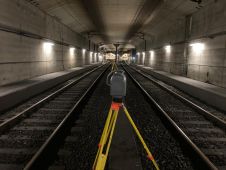
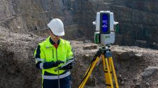
A new dual-window scanner that halves data capture time headlines the latest Maptek mine measurement improvements. The new Maptek XR3-D mkII laser scanner with dual-window arrangement is designed to cut...