Parallel Computing in Photogrammetry
The race between data production and processing capacity has been going on for many decades, with data production usually on the winning team. This is also true for airborne and...

The race between data production and processing capacity has been going on for many decades, with data production usually on the winning team. This is also true for airborne and...
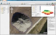
Orbit GeoSpatial Technologies has released its photogrammetric UAS mapping application of Orbit Strabo Photogrammetry 10.5, and the update is immediately available for download. This upgrade adds new features on several...
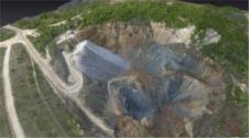
UAS mapping is widely accepted as a new method for acquiring spatial image data. The main business opportunities clearly lie in projects which are too small to be of interest...
Sanborn has selected SimActive Correlator3D as its new platform of choice. With immense data volumes traversing complex production workflows, Sanborn required a new photogrammetry suite for handling projects efficiently. "The...
In view of the exceptional value it has added towards development of geospatial science, The Institute of Photogrammetry (IPI), University of Hannover will be congratulated by GIS Development with the...
Department for Planning & Infrastructure (DPI), a government agency in Western Australia has selected several ERDAS photogrammetry solutions for analysing coastline movements, engineering, maritime facility mapping and nautical charting. DPI...

In recent years, aerial photogrammetry has increasingly been using camera systems which capture nadir and oblique images at the same time. The number of oblique systems on offer in the...

It has become customary for me to provide a survey article on digital aerial cameras in the April issue of GIM International every three years. The previous survey (April 2011;...
This site uses cookies. By continuing to use this website, you agree to our Cookies Policy. Agree