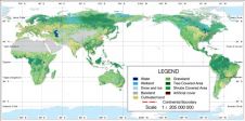
Geomatics Developments in Asia
The International Scientific and Technical Conference was held for the 14th time from 20-23 October 2014 in Hainan, China. This year’s conference, which was themed ‘From imagery to map: digital...
The International Scientific and Technical Conference was held for the 14th time from 20-23 October 2014 in Hainan, China. This year’s conference, which was themed ‘From imagery to map: digital...

Racurs will be organising its annual conference this year on the island of Hainan, China. The 14th International Scientific and Technical Conference called 'From Imagery to Map: Digital Photogrammetric Technologies'...
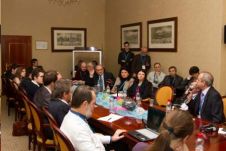
The 13th Racurs Conference entitled 'From Imagery to Map: Digital Photogrammetric Technologies' was held earlier this year in Fontainebleau, France. The list of participants was notable and, with a master-class...

The 13th Racurs conference with the theme 'From Imagery to Map: Digital Photogrammetric Technologies' represents a particular milestone this year since the company is also marking its 20th anniversary. The...

The 13th edition of the annual Racurs Conference will be held from 22-26 September 2013 in Fontainebleau, which is located about 50km southeast of the centre of Paris, France. The...
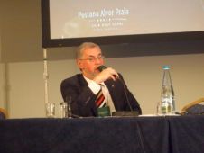
During the recent Racurs conference entitled ‘From Imagery to Map: Digital Photogrammetric Technologies’ held in Portimão, Portugal, GIM International interviewed the managing director of Racurs, Dr Victor Adrov. He played...
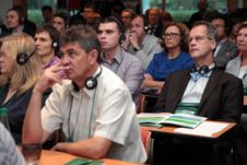
The recent Racurs conference held in Portimao, Portugal, was opened by keynote speaker Mr Henriques, Regional Director in Faro Delegation of the General Directorate of the Territory (former Instituto Geograpfico...
Racurs, Russia, is organising a contest among PHOTOMOD Lite users. PHOTOMOD Lite is a free software package which has all the features of PHOTOMOD digital photogrammetric system. There are two...
The 'Earth from Space - the Most Effective Solutions' international conference, traditionally held once every two years close to Moscow, Russia, is the largest event in remote sensing within the...
For over a century, images taken from above-ground platforms have been major data sources for topographic mapping, creation of base maps and many other uses. For the past decade or...
This site uses cookies. By continuing to use this website, you agree to our Cookies Policy. Agree