An interview is the ultimate opportunity to get to know key figures in the geomatics industry. The interview is a regular part of the GIM International magazine and is written to reveal the view of a professional, company or organisation regarding specific topic within geomatics. Topical questions will be answered by the interviewee concerning his company, organisation, products, market views, philosophies or strategies. Apart from the regular interview, the rubric ‘5 Questions to…’ is a short article and a quick way to introduce someone or something in the business.

SimActive is a leading developer of photogrammetry software. The Canadian company, which was founded by two brothers – Louis and Philippe Simard – in 2003, celebrates its 15th anniversary this yea...

Whenever anyone talks about Lidar technology in the geospatial sector, it is only a matter of time before the name RIEGL is mentioned. Thanks to its renowned R&D department, the Austrian provider of i...

Christoph Strecha, founder and CEO of Pix4D, reveals that he foresees big changes in the geospatial industry in this interview with 'GIM International'. Over the past decade, photogrammetry from unman...

There has been much debate on the synergy of building information modelling (BIM) and GIS (geographic information systems). This makes for a potentially powerful combination, but what is the best way ...

In the following interview with GIS Professional, Satish Sankaran and Chris Andrews speak to Niall Conway about their work on Esri's 'Open Strategy' and about where the GIS industry is heading. GIS Pr...

Switzerland-based start-up Wingtra has developed a vertical-take-off-and-landing (VTOL) unmanned aerial vehicle (UAV or ‘drone’) that rises straight up, tilts and flies off like an aeroplane. The ...

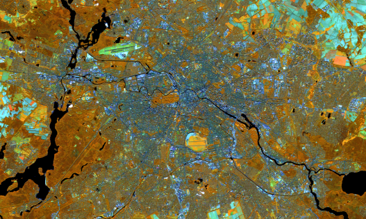
The idea behind INSPIRE is quite simple: a common framework for all European environmental reference data. The implementation of such a system, however, is less simple. Technology is one thing – but...

Since 2001, more than 400 students have successfully completed the TSA Surveying Course at The Survey School in Worcester. The syllabus, which was written by The Survey Association, gives students a t...

In this article, we speak to Paul Ramsey about how both PostgreSQL and PostGIS can provide a solid foundation for any small to large organisational GIS architecture. Paul, a Solutions Engineer at Cart...

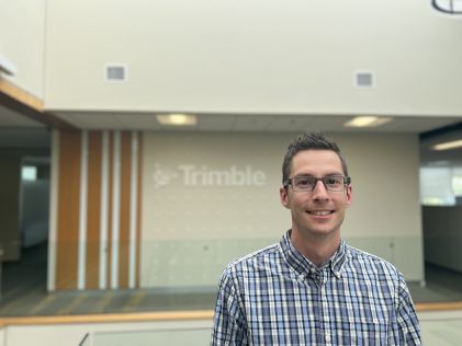
The changing landscape of the mapping and surveying profession brings new challenges, even for a renowned manufacturer of geospatial instruments like Trimble. In view of the growing role of BIM, the r...
This site uses cookies. By continuing to use this website, you agree to our Cookies Policy. Agree