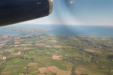
Found 975 results
Sort by

Vegetation Mapping Using Multispectral UAV Images

DJI recently introduced the P4 multispectral, a high-precision unmanned aerial vehicle (UAV or ‘drone’) which exploits the integration of multispectral cameras to facilitate agricultural and environmental monitoring applications. Therefore, imagery...

Read more

EAASI Ascends to New Heights

More than 40 companies have joined EAASI since the European aerial mapping industry created the not-for-profit umbrella organization aimed at fostering joint interests less than two years ago. In this...

Read more

Signal Disruptions

GNSS… it’s almost impossible to run a modern geo-related business without it. But what if a problem should occur? Whether in navigation, surveying or even agriculture, countless activities almost entirely...

Read more